Old Maps of Pembroke, Georgia
Explore 34 old maps of Pembroke, spanning from 1920 to today. These high-resolution historic maps reveal how streets, neighborhoods, landmarks, and natural features evolved over time — perfect for genealogy, metal detecting, research, and local history exploration.
What you can do with these maps:
- See how Pembroke changed over time: Compare historical maps to modern-day views to trace roads, homesites, rail lines & more.
- View detailed metadata: Each map includes creators, publishers, year, scale, and archive source.
- Overlay maps with satellite & LiDAR: Visualize the past alongside modern tools to explore terrain & human change.
- Trusted historical sources: Maps sourced from the USGS, Library of Congress, and other archives.
- Access maps your way: View online, download high-res files, or order prints for personal or research use.
Start exploring old maps of Pembroke to uncover forgotten places, hidden landmarks, and the deep history beneath your feet.
Pembroke, GA maps
(34)- 1920 Map of Pembroke
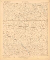 1920 Pembroke1920 Print · USGSGeorgia's coastal plain emerges in the years after the Great War, showing a network of rail lines and river landings. Genealogists can trace old family roots through Stevens Grove School, Beulah Church, and the settlement at Pembroke.3 unique versions available
 - 1947 Map of Savannah
 1947 Savannah1947 Print · USGSCoastal Georgia and South Carolina are captured here in the mid-forties, showing the rail-and-river networks of the Lowcountry. Genealogists and researchers can trace old crossroads and river towns from Statesboro to Beaufort, alongside military sites like Camp Stewart and Parris Island.
 - 1948 Map of Savannah
 1948 Savannah1948 Print · USGSThe Georgia and South Carolina Lowcountry comes alive in this post-war survey of the coast and its river-fed hinterlands. Genealogists and historians can trace rail lines like the Central of Georgia RR and find established settlements such as Isle of Hope and Sylvania.
 - 1948 Map of Pembroke, 1966 Print
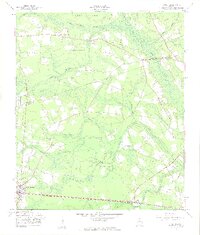
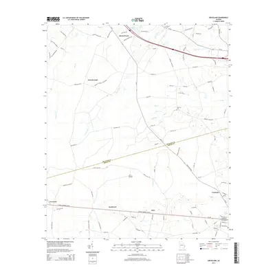
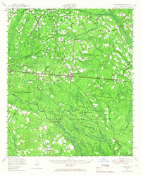 1948 Pembroke1966 Print · USGSPembroke and the surrounding Georgia pine lands are captured here just after the war, showing a landscape defined by the railroad and the military. Genealogists can trace family names at Beautiful Zion Cem, Ash Branch Church, and several rural schools like Midway Sch.
 - 1950 Map of Pembroke
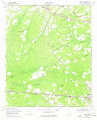
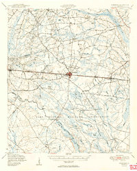 1950 Pembroke1950 Print · USGSIn mid-century Bryan County, the landscape around Pembroke was a mix of vital rail lines and expanding military boundaries. Genealogists and local historians can trace family locations near Beautiful Zion Cem, Ash Branch Church, and the rural Esla Sch.2 unique versions available
 - 1957 Map of Savannah, 1967 Print
 1957 Savannah1967 Print · USGSThe Lowcountry and Georgia coastal plain are shown here in the late fifties, prior to modern expansion. Researchers can trace the rail-and-river economy through the Central of Georgia lines and the Ogeechee River wetlands.4 unique versions available
 - 1958 Map of Groveland, 1961 Print
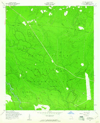
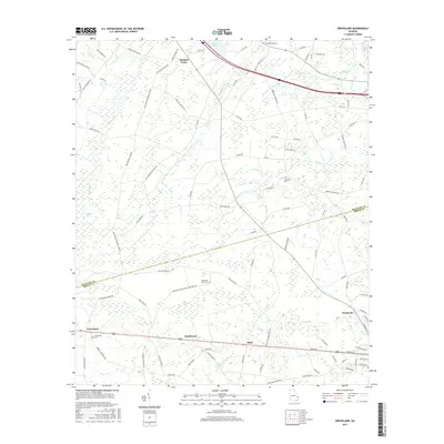
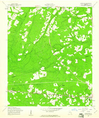 1958 Groveland1961 Print · USGSThe rural borderlands of Bulloch and Bryan Counties are captured here in the late fifties, during the heyday of the Seaboard Air Line railway. Genealogists can trace family roots through several local landmarks like Jerusalem Ch, Reka, and the Beautiful Zion Cem.
 - 1958 Map of Lanier, 1961 Print
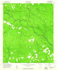
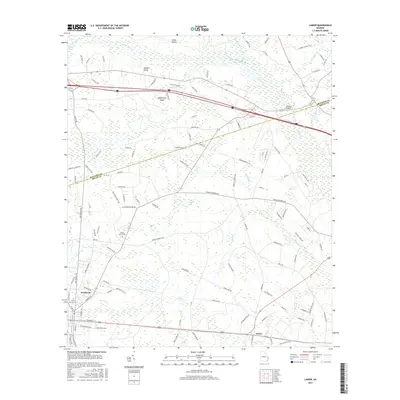
 1958 Lanier1961 Print · USGSThe Bryan County countryside comes into focus in the late fifties as the Seaboard Air Line rail traffic moved through Pembroke and Lanier. Trace rural landmarks like the Ash Branch Ch and Stevens Grove Cem among the winding wetlands of Mill Creek Bay.3 unique versions available
 - 1958 Map of Letford, 1961 Print
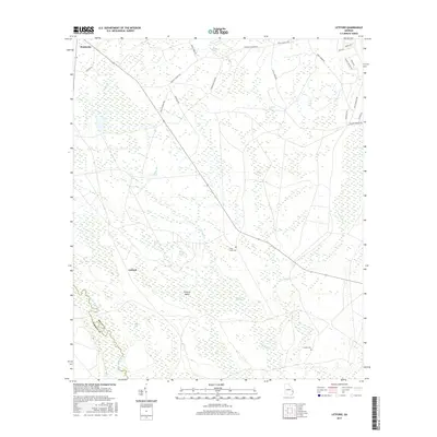
 1958 Letford1961 Print · USGSBryan County was undergoing significant transformation in the late fifties as military expansion integrated local lands. Researchers can trace the remnants of earlier communities through Letford (Site), the Old Railroad Grade, and rural landmarks like Beulah Ch.3 unique versions available
 - 1958 Map of Willie, 1961 Print
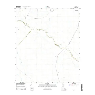
 1958 Willie1961 Print · USGSLiberty County was undergoing a major transformation in the late fifties as military expansion reshaped the rural landscape. Genealogists and historians can locate the former Willie settlement and trace ancestral roots at Jerusalem Cem or Salem Cem.3 unique versions available
 - 1960 Map of Savannah
 1960 Savannah1960 Print · USGSCoastal Georgia and the South Carolina Lowcountry are captured in the late fifties, showcasing the intricate web of islands and tidal rivers before modern expansion. Researchers can trace the rail lines of the Atlantic Coast Line or locate sites like Parris Island, Beaufort, and the Tybee Lighthouse.
 - 1961 Map of Savannah
 1961 Savannah1961 Print · USGSThe Georgia and South Carolina Lowcountry comes alive in this mid-century survey of coastal marshes, barrier islands, and river networks. Genealogists and historians can trace the paths of the Seaboard Air Line RR, locate family sites near Isle of Hope, or study the grounds of Fort Stewart Military Reservation.2 unique versions available
 - 1976 Map of Groveland, 1977 Print
 1976 Groveland1977 Print · USGSBulloch and Bryan Counties at the mid-seventies provide a look at rural Georgia life along the Seaboard Coast Line. Researchers can trace the development of Groveland and Pembroke or locate family landmarks like Jerusalem Ch and Beautiful Zion Cem.
 - 1981 Map of Savannah, 1982 Print
 1981 Savannah1982 Print · USGSCoastal Georgia and the South Carolina borderlands are captured here in the early eighties, showing the region's complex network of riverine islands and military installations. Researchers can trace the rail lines of the Central of Georgia and explore sites like Fort Stewart Military Reservation and Garden City.
 - 2011 Map of Groveland, 2011 Print
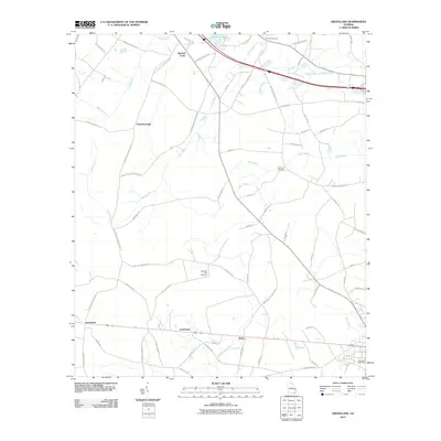 2011 Groveland2011 Print · USGSCovers Pembroke, including Reka, Statesborough, and other nearby areas
 - 2011 Map of Letford, 2011 Print
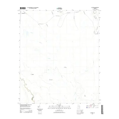
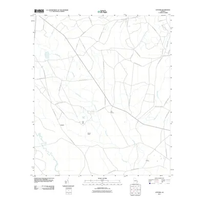 2011 Letford2011 Print · USGSCovers Pembroke, including Letford, Liberty County, and other nearby areas
 - 2011 Map of Willie, 2011 Print
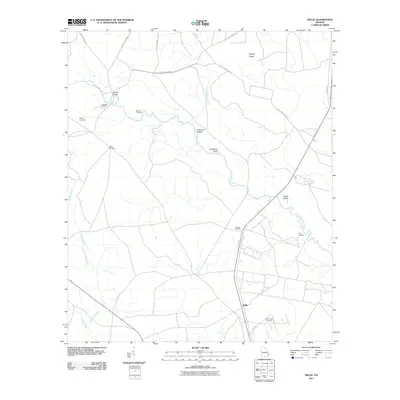 2011 Willie2011 Print · USGSCovers Pembroke, including Willie, Liberty County, and other nearby areas
 - 2011 Map of Lanier, 2011 Print
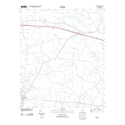 2011 Lanier2011 Print · USGSCovers Pembroke, including Lanier, Bulloch County, and other nearby areas
 - 2014 Map of Groveland, 2014 Print
 2014 Groveland2014 Print · USGSCovers Pembroke, including Reka, Statesborough, and other nearby areas
 - 2014 Map of Willie, 2014 Print
 2014 Willie2014 Print · USGSCovers Pembroke, including Willie, Liberty County, and other nearby areas
 - 2014 Map of Lanier, 2014 Print
 2014 Lanier2014 Print · USGSCovers Pembroke, including Lanier, Bulloch County, and other nearby areas
 - 2014 Map of Letford, 2014 Print
 2014 Letford2014 Print · USGSCovers Pembroke, including Letford, Liberty County, and other nearby areas
 - 2017 Map of Letford, 2017 Print
 2017 Letford2017 Print · USGSCovers Pembroke, including Letford, Liberty County, and other nearby areas
 - 2017 Map of Lanier, 2017 Print
 2017 Lanier2017 Print · USGSCovers Pembroke, including Lanier, Bulloch County, and other nearby areas
 - 2017 Map of Groveland, 2017 Print
 2017 Groveland2017 Print · USGSCovers Pembroke, including Reka, Statesborough, and other nearby areas
Showing maps 1-25 of 34
Top cities near Pembroke
Frequently asked questions
- What are the different types of historical maps available for Pembroke?
- What is the oldest map of Pembroke?
- Where can I purchase historical maps of Pembroke for my home or office?
- Where can I download high-res historical maps of Pembroke?
- Are there historical topographic maps available for Pembroke?
- Is there historical aerial imagery available for Pembroke?
- Where are historical maps of Pembroke sourced from?