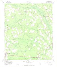
1958 Map of Lanier
USGS Topo · Published 1961About this map
The Seaboard Air Line railway corridor anchors the southern edge of this late 1950s survey, connecting the established community of Pembroke with the smaller settlement at Lanier. Between the rail line and the Bulloch-Bryan county line, the landscape is defined by the complex swampy drainage systems of Lower Black Creek and Mill Creek. The map documents a rural coastal plain environment where isolated high ground is often named as an island, such as Cooks Island and Jennett Island, surrounded by wetlands and bays.
Find a feature on this map
22 named features on this map. Tap any name to fly to it.
Don’t see what you’re looking for? This feature index may not catch every label — zoom into the map to look around manually.
Map Details
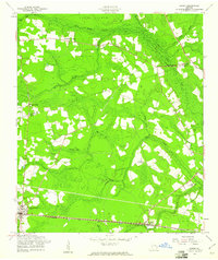
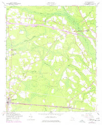
Editions of this 1958 Lanier Map
3 editions found
Other maps of this area

1919 · Egypt
USGS Topo · 1:62,500

1920 · Pembroke
USGS Topo · 1:62,500

1920 · Meldrim
USGS Topo · 1:62,500

1921 · Brooklet
USGS Topo · 1:62,500

1939 · Egypt
USGS Topo · 1:62,500

1942 · Meldrim
USGS Topo · 1:62,500

1943 · Brooklet
USGS Topo · 1:62,500

1943 · Egypt
USGS Topo · 1:62,500

1947 · Savannah
USGS Topo · 1:250,000

1948 · Savannah
USGS Topo · 1:250,000