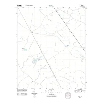
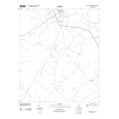
1943 Map of Egypt
USGS Topo · Published 1943About this map
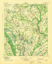
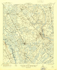
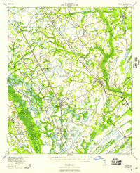
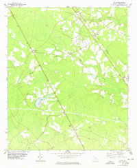
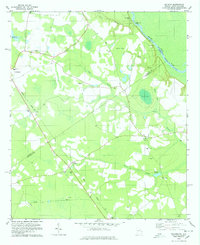
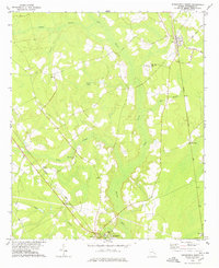
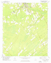
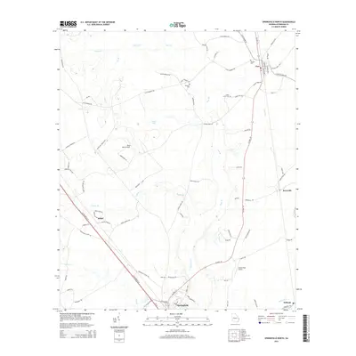
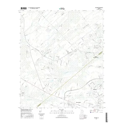
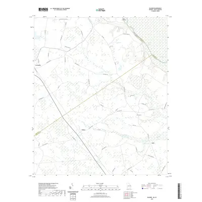
The Ogeechee River and Savannah River define the eastern and western boundaries of this low-lying Effingham County landscape as it appeared during the early 1940s. The settlement pattern is anchored by the Central of Georgia railroad, which links the towns of Guyton, Pineora, and Marlow in the south. To the north, a complex network of historic transit routes like the Augusta and Savannah Road and Louisville Road connect rural communities including Egypt and Shawnee. This era of the region is characterized by small, decentralized schoolhouses and churches such as Riverside Sch, Dasher Sch, and Bethel Ch, which served dispersed agricultural families. Along the Ogeechee, specific river access points like Alderman Landing and Joe Cone Landing hint at the lingering importance of the river for local transport and commerce.
Find a feature on this map
48 named features on this map. Tap any name to fly to it.
Don’t see what you’re looking for? This feature index may not catch every label — zoom into the map to look around manually.
Map Details
Editions of this 1943 Egypt Map
This is the sole edition of this map. No revisions or reprints were ever made.
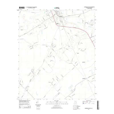
Historical Maps of Rincon Through Time
33 maps found
1919 Egypt
Effingham County, GA
1939 Egypt
Effingham County, GA
1943 Egypt
Effingham County, GA
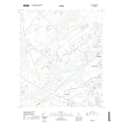
1958 Meldrim
Effingham County, GA
1978 Egypt
Effingham County, GA
1978 Kildare
Effingham County, GA
1978 Springfield North
Effingham County, GA
1978 Springfield South
Effingham County, GA
2011 Egypt
Effingham County, GA
2011 Kildare
Effingham County, GA
2011 Meldrim
Effingham County, GA
2011 Springfield North
Effingham County, GA
2011 Springfield South
Effingham County, GA
2014 Egypt
Effingham County, GA
2014 Kildare
Effingham County, GA
2014 Meldrim
Effingham County, GA
2014 Springfield North
Effingham County, GA
2014 Springfield South
Effingham County, GA
2017 Egypt
Effingham County, GA
2017 Kildare
Effingham County, GA
2017 Meldrim
Effingham County, GA
2017 Springfield North
Effingham County, GA
2017 Springfield South
Effingham County, GA
2020 Egypt
Effingham County, GA
2020 Kildare
Effingham County, GA
2020 Meldrim
Effingham County, GA
2020 Springfield North
Effingham County, GA
2020 Springfield South
Effingham County, GA
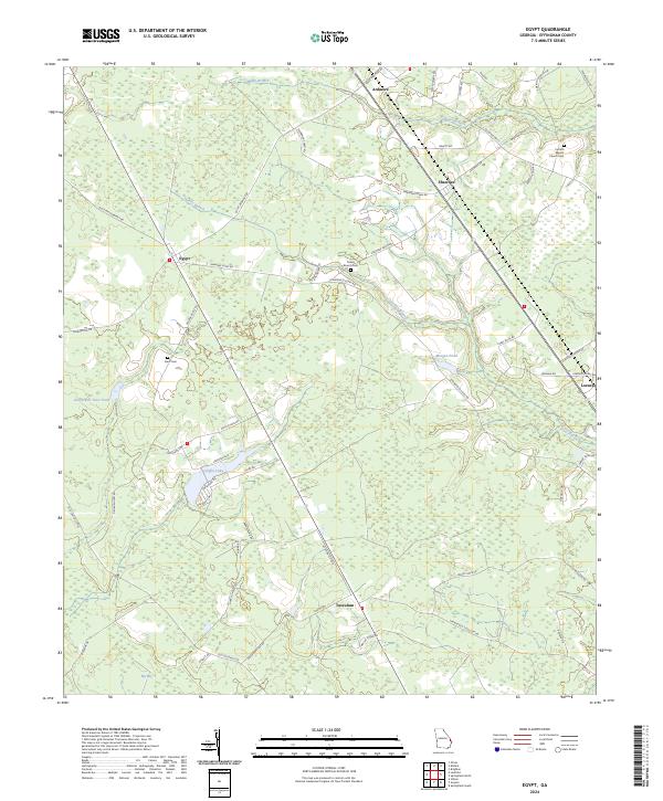
2024 Egypt
Effingham County, GA
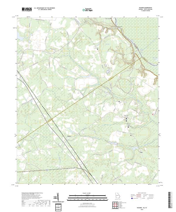
2024 Kildare
Effingham County, GA
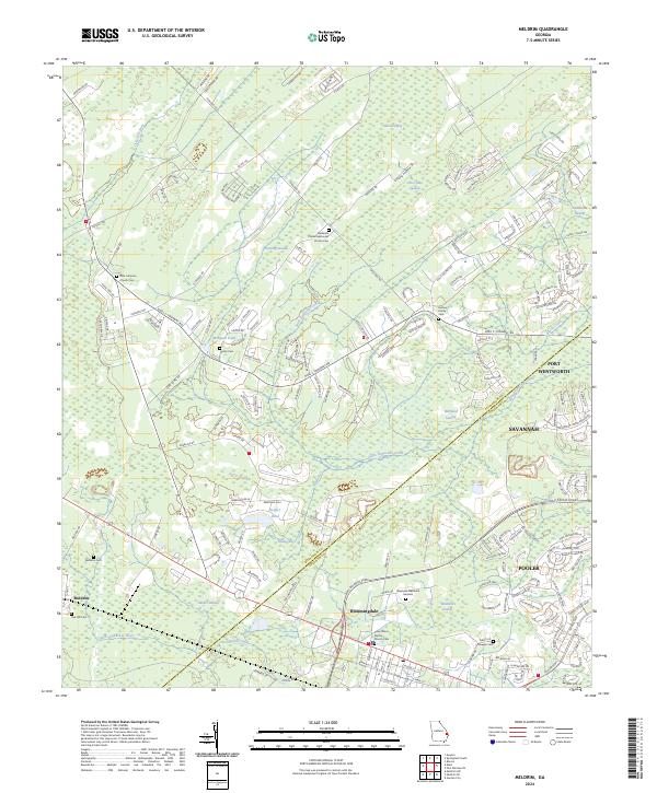
2024 Meldrim
Effingham County, GA
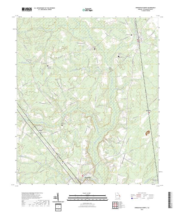
2024 Springfield North
Effingham County, GA
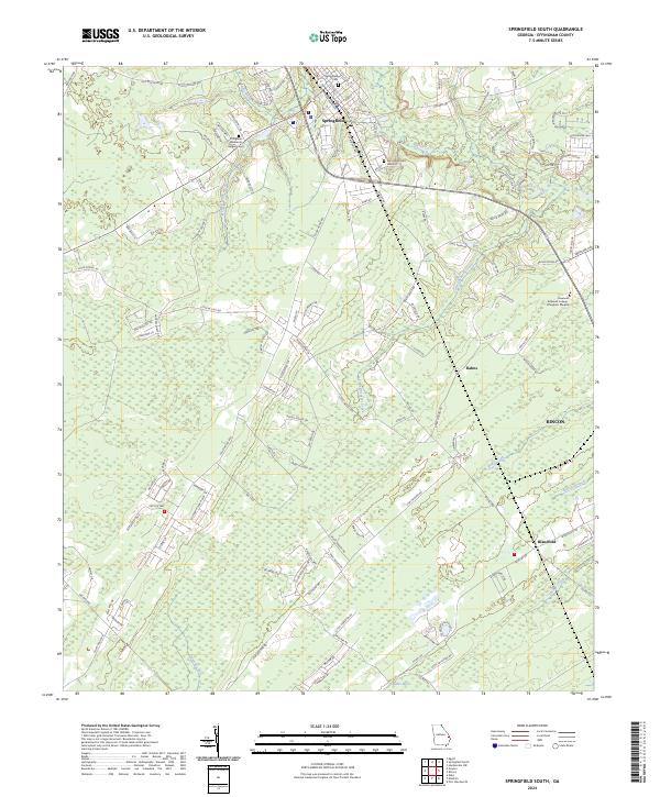
2024 Springfield South
Effingham County, GA