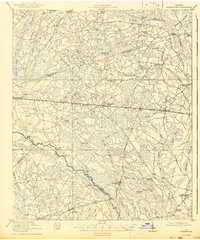
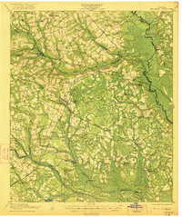
1920 Map of Pembroke
USGS Topo · Published 1943About this map
Pembroke serves as the central hub of this South Georgia landscape, situated along the Seaboard Air Line railway. The map reveals a region defined by its complex hydrology, where the Canoochee River winds past prominent landmarks like Clifton Bluff and early river access points such as Maple Pen Landing and Floyd Landing. This 1918-1919 survey documents a rural economy still heavily reliant on rail and river transport, featuring numerous named bays and branches that break up the pine-dominated terrain.
Find a feature on this map
69 named features on this map. Tap any name to fly to it.
Don’t see what you’re looking for? This feature index may not catch every label — zoom into the map to look around manually.
Map Details
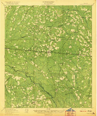
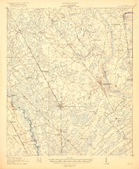
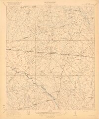
Editions of this 1920 Pembroke Map
3 editions found
Other maps of this area

1918 · Hinesville
USGS Topo · 1:62,500

1919 · Claxton
USGS Topo · 1:62,500
1919 · Egypt
USGS Topo · 1:62,500
1920 · Pembroke
USGS Topo · 1:62,500

1920 · Statesboro
USGS Topo · 1:62,500

1920 · Glennville
USGS Topo · 1:62,500

1920 · Meldrim
USGS Topo · 1:62,500

1920 · Limerick
USGS Topo · 1:62,500
1921 · Brooklet
USGS Topo · 1:62,500
1939 · Egypt
USGS Topo · 1:62,500