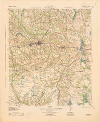
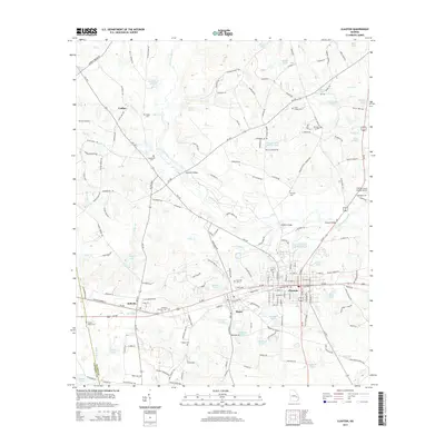
1919 Map of Claxton
USGS Topo · Published 1919About this map
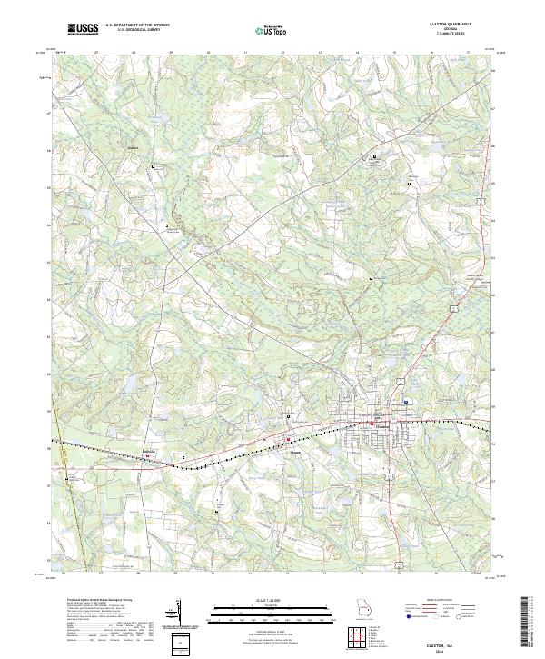
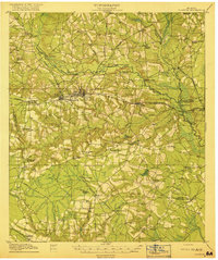
Claxton and the neighboring rail towns of Hagan and Bellville form the central economic corridor of this Southeast Georgia survey, captured shortly after Evans County was established. The landscape is defined by the winding course of the Canoochee River, which is spanned by numerous historic crossings including the Claxton Bridge and the Mose Hendrix Bridge. The map reveals a dense network of early 20th-century rural infrastructure, specifically highlighting a notable concentration of country schools such as the Liberia School, Green Cypress School, and Brewton Mill School. The influence of the timber industry is evident through the presence of the Lumber RR and the Georgia and Florida RR (Abandoned), which intersect with the primary Seaboard Air Line. This detailed topography provides genealogists a view of family-named landmarks like Deans Crossing and Tippins Pond during a period of significant regional transition.
Find a feature on this map
63 named features on this map. Tap any name to fly to it.
Don’t see what you’re looking for? This feature index may not catch every label — zoom into the map to look around manually.
Map Details
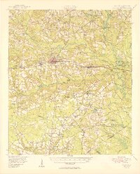
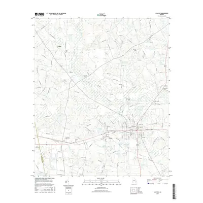
Editions of this 1919 Claxton Map
3 editions found

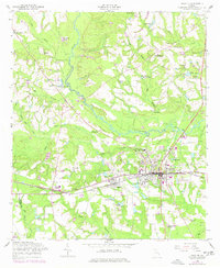
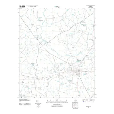
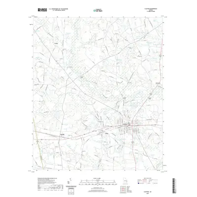
Historical Maps of Claxton Through Time
9 maps found