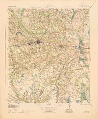
1944 Map of Claxton
USGS Topo · Published 1944About this map
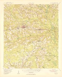
Claxton and Hagan serve as the primary commercial centers along the Seaboard Air Line railroad in this mid-century survey of Evans County. The landscape is defined by the winding course of the Canoochee River and a dense network of rural schools that once anchored these agrarian communities, including Deloach Sch and Mt Pleasant Sch. The southern portion of the map is dominated by the Camp Stewart military reservation, its presence marked by a clear Reservation Boundary that halts the typical pattern of small-town development seen elsewhere in settlements like Daisy and Bellville. Local transit and commerce are evidenced by features such as Clarks Siding and Moodys Crossing, which provided essential links for timber and agricultural goods. Numerous ponds, such as Anderson Pond and Durrence Pond, dot the tributaries of Thick Creek and Lottis Creek, reflecting the importance of water management in this coastal plain region.
Find a feature on this map
63 named features on this map. Tap any name to fly to it.
Don’t see what you’re looking for? This feature index may not catch every label — zoom into the map to look around manually.
Map Details
Editions of this 1944 Claxton Map
This is the sole edition of this map. No revisions or reprints were ever made.
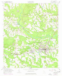
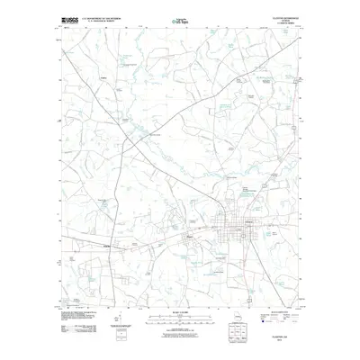
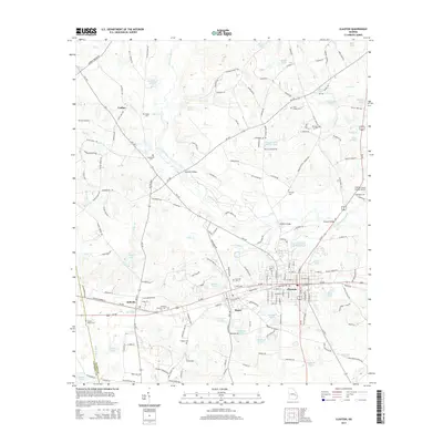
Historical Maps of Claxton Through Time
9 maps found