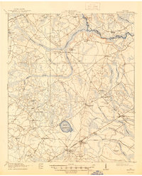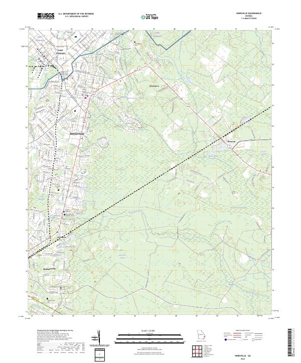
1944 Map of Hinesville
USGS Topo · Published 1945About this map
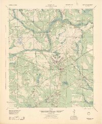
Camp Stewart dominates the central landscape of this mid-1940s survey, illustrating the rapid wartime transformation of Liberty County. The installation includes the Camp Stewart Army Airfield and a sprawling grid of military infrastructure, bordered by the Military Reservation Boundary. Surrounding this military hub, the traditional agricultural and community patterns of coastal Georgia remain visible through numerous rural institutions like Bethel Sch, New Jerusalem Ch, and the Liberty Campmeeting Ground.
Find a feature on this map
53 named features on this map. Tap any name to fly to it.
Don’t see what you’re looking for? This feature index may not catch every label — zoom into the map to look around manually.
Map Details
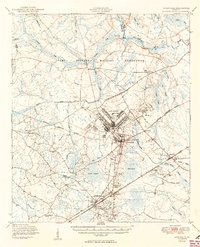
Editions of this 1944 Hinesville Map
This is the sole edition of this map. No revisions or reprints were ever made.
Historical Maps of Hinesville Through Time
9 maps found