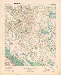
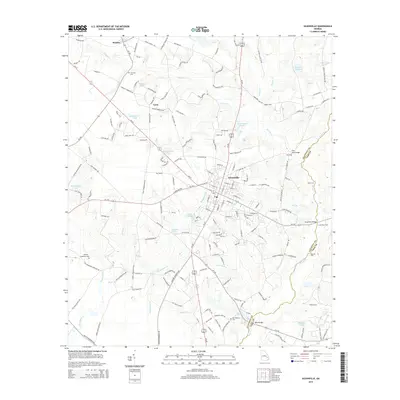
1944 Map of Glennville
USGS Topo · Published 1944About this map
Glennville serves as the central hub of this 1944 survey, situated at the crossroads of a rural landscape spanning the borders of Tattnall, Long, and Liberty counties. The settlement patterns of the mid-1940s are characterized by a dense network of country schools, such as Ella Grove Sch and Rye Patch School, which suggest small, self-contained farming communities scattered throughout the coastal plain. In the south, the Altamaha River winds past Beards Bluff, a notable topographic feature overlooking the river's wide bottomlands. Transportation across these rural stretches relies on routes like the Walthourville Road, connecting remote points like Smiley and Lida. Family-named landmarks such as Kicklighter and Vance Sch provide valuable touchpoints for genealogists looking to locate ancestral homes and community centers that defined this era before significant post-war modernization altered the local geography.
Find a feature on this map
46 named features on this map. Tap any name to fly to it.
Don’t see what you’re looking for? This feature index may not catch every label — zoom into the map to look around manually.
Map Details
Editions of this 1944 Glennville Map
This is the sole edition of this map. No revisions or reprints were ever made.
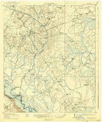
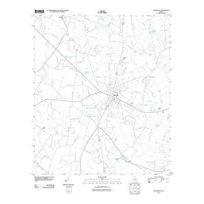
Historical Maps of Glennville Through Time
9 maps found
1920 Glennville
Tattnall County, GA
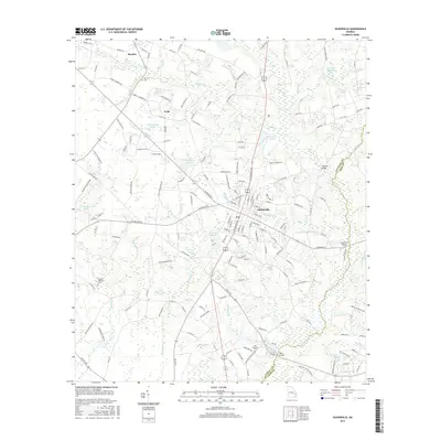
1944 Glennville
Tattnall County, GA

1950 Glennville
Tattnall County, GA
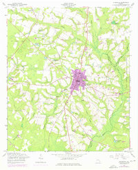
1958 Glennville
Tattnall County, GA
2011 Glennville
Tattnall County, GA
2014 Glennville
Tattnall County, GA
2017 Glennville
Tattnall County, GA
2020 Glennville
Tattnall County, GA
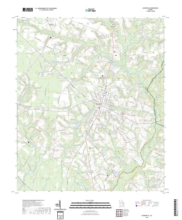
2024 Glennville
Tattnall County, GA