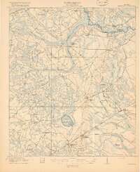
1918 Map of Hinesville
USGS Topo · Published 1918About this map
Hinesville serves as the focal point of this 1917 survey, a coastal plain landscape defined by extensive wetlands and an early twentieth-century rural infrastructure. The area is characterized by a network of swamps such as Peacock Swamp, Goshen Swamp, and the interestingly named Captain Fleming Swamp, which dictated the placement of early settlements and travel routes. At Ways Millpond, the local economy is tied to the water, while the presence of numerous small educational and religious sites like Thomas Hill School, Minnesota School, and the Liberty Campmeeting Ground highlights the dispersed nature of Liberty County's communities during this era.
Find a feature on this map
52 named features on this map. Tap any name to fly to it.
Don’t see what you’re looking for? This feature index may not catch every label — zoom into the map to look around manually.
Map Details
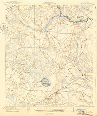
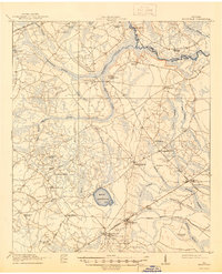
Editions of this 1918 Hinesville Map
4 editions found
Other maps of this area

1918 · Jesup
USGS Topo · 1:62,500

1918 · Hinesville
USGS Topo · 1:62,500

1919 · Claxton
USGS Topo · 1:62,500

1920 · Pembroke
USGS Topo · 1:62,500

1920 · Glennville
USGS Topo · 1:62,500

1920 · Meldrim
USGS Topo · 1:62,500

1920 · Sapelo River
USGS Topo · 1:62,500

1920 · Limerick
USGS Topo · 1:62,500

1942 · Meldrim
USGS Topo · 1:62,500

1943 · Ludowici
USGS Topo · 1:62,500