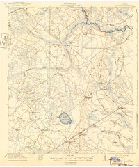
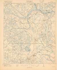
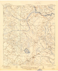
1918 Map of Hinesville
USGS Topo · Published 1943About this map
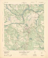
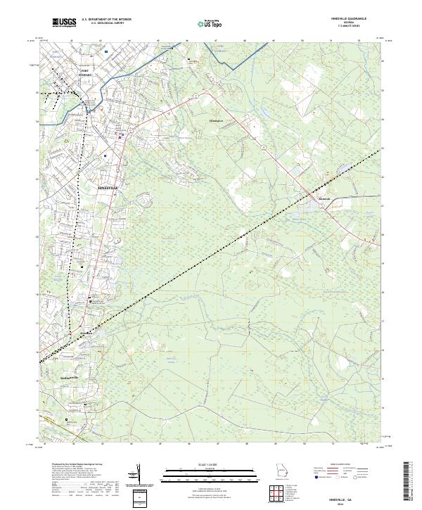
Hinesville and its surrounding coastal plain settlements are captured here during a time of significant transition for Liberty County, Georgia. The landscape is defined by the Canoochee River and a dense network of blackwater swamps, including Dons Swamp, Goshen Swamp, and Captain Fleming Swamp. This 1917 survey reveals the reliance on local water power and timber, anchored by Ways Millpond and the presence of the Dunlevie Lumber RR. Local social and spiritual life is evident through numerous rural schoolhouses and landmarks like the Liberty Campmeeting Ground and New Jerusalem Church. The rail infrastructure of the Atlantic Coast Line and the Savannah and Southern illustrates the importance of transit for rural centers such as Taylors Creek and McIntosh before mid-century changes reshaped the region.
Find a feature on this map
56 named features on this map. Tap any name to fly to it.
Don’t see what you’re looking for? This feature index may not catch every label — zoom into the map to look around manually.
Map Details
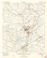
Editions of this 1918 Hinesville Map
4 editions found

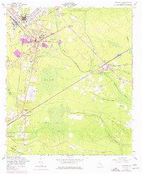
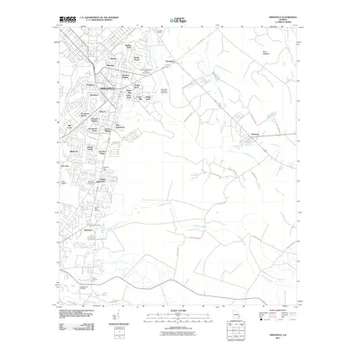
Historical Maps of Hinesville Through Time
9 maps found