
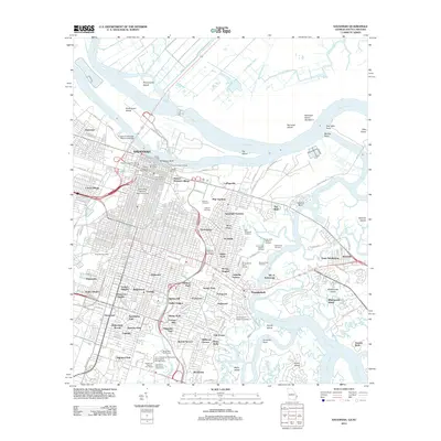
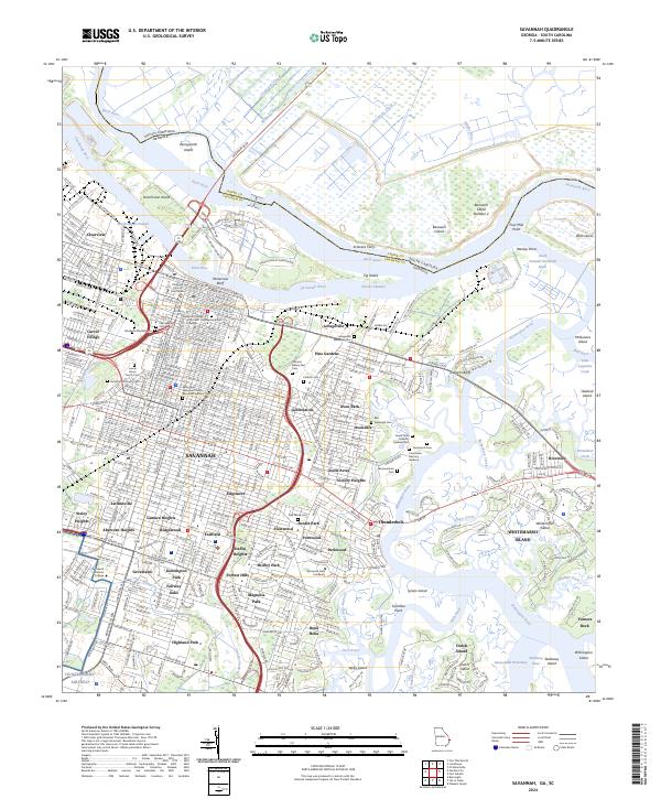
1942 Map of Savannah
USGS Topo · Published 1942About this map
The Savannah River corridor and its intricate network of islands and canals dominate this 1942 military tactical survey. The landscape is a complex mix of industrial agriculture and early 20th-century urban development, notably featuring numerous historical plantation sites such as Richmond Plant. and Oak Grove Plant.. A striking level of social detail is preserved in the residential layout of Port Wentworth White Village and Port Wentworth Colored Village, reflecting the segregated industrial housing of the era.
Find a feature on this map
82 named features on this map. Tap any name to fly to it.
Don’t see what you’re looking for? This feature index may not catch every label — zoom into the map to look around manually.
Map Details
Editions of this 1942 Savannah Map
This is the sole edition of this map. No revisions or reprints were ever made.
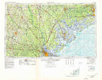
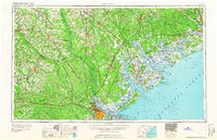
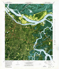
Historical Maps of Savannah Through Time
14 maps found
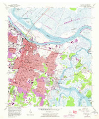
1942 Savannah
Chatham County, GA

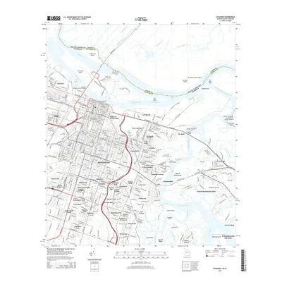
1947 Savannah
Chatham County, GA

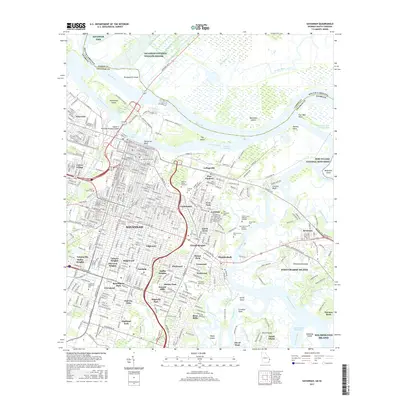
1948 Savannah
Chatham County, GA
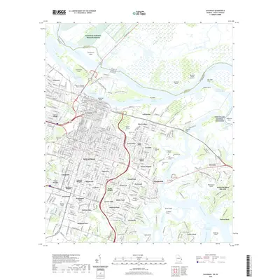
1955 Savannah
Chatham County, GA
1957 Savannah
Chatham County, GA

1960 Savannah
Chatham County, GA
1961 Savannah
Chatham County, GA
1978 Savannah
Chatham County, GA

1981 Savannah
Chatham County, GA
2012 Savannah
Chatham County, GA
2014 Savannah
Chatham County, GA
2017 Savannah
Chatham County, GA
2020 Savannah
Chatham County, GA
2024 Savannah
Chatham County, GA