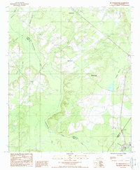
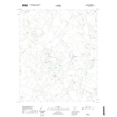
1919 Map of Shirley
USGS Topo · Published 1942About this map
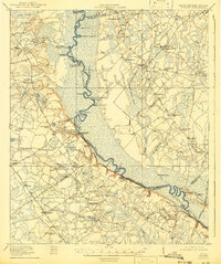
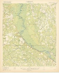
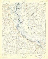
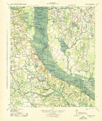
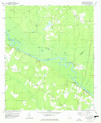
The Savannah River defines this landscape, winding through a complex network of riverine geography that served as a primary artery for South Carolina and Georgia just after the First World War. Numerous family-named points and reaches, such as Thompsons Cut Pt and Goldwires Reach, illustrate the localized navigation and land ownership patterns of the era. The prevalence of landings like Hudsons Ferry Landing and Stokes Bluff Ldg indicates a river economy still reliant on water-based transport for goods and travel between rural counties.
Find a feature on this map
86 named features on this map. Tap any name to fly to it.
Don’t see what you’re looking for? This feature index may not catch every label — zoom into the map to look around manually.
Map Details
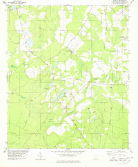
Editions of this 1919 Shirley Map
3 editions found
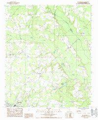
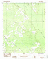
Historical Maps of Estill Through Time
32 maps found
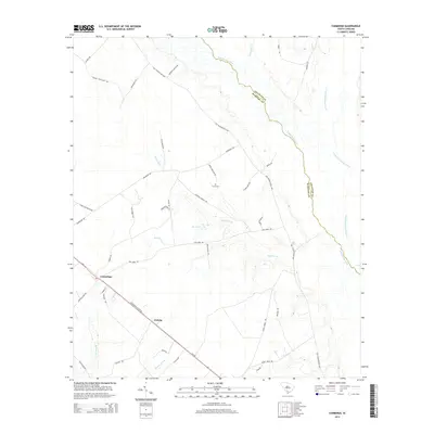
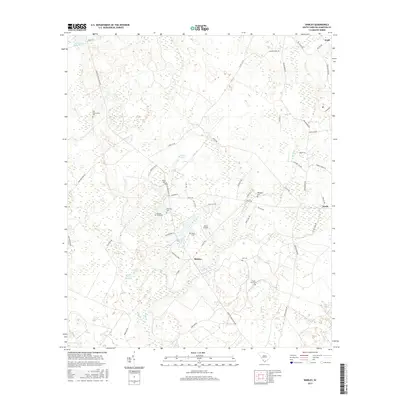
1919 Shirley
Hampton County, SC
1943 Shirley
Hampton County, SC
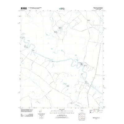
1978 Brighton
Hampton County, SC
1978 Shirley
Hampton County, SC
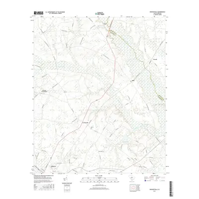
1988 Crocketville
Hampton County, SC
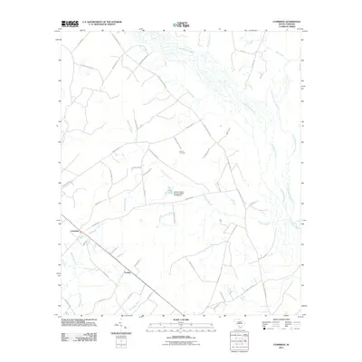
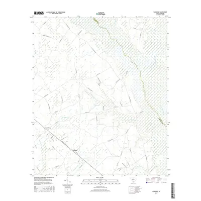
1988 Cummings
Hampton County, SC
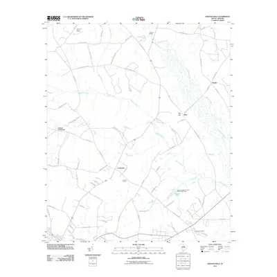
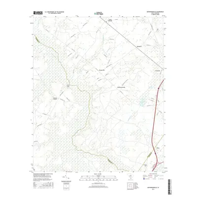
1988 Mc Phersonville
Hampton County, SC
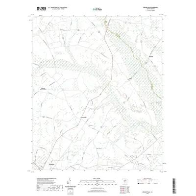
2011 Brighton
Hampton County, SC
2011 Crocketville
Hampton County, SC
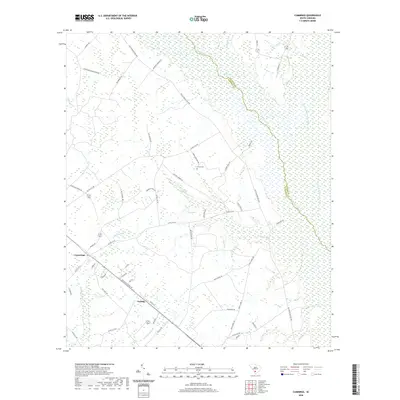
2011 Cummings
Hampton County, SC
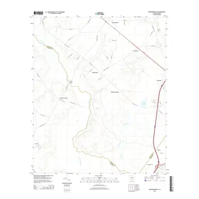
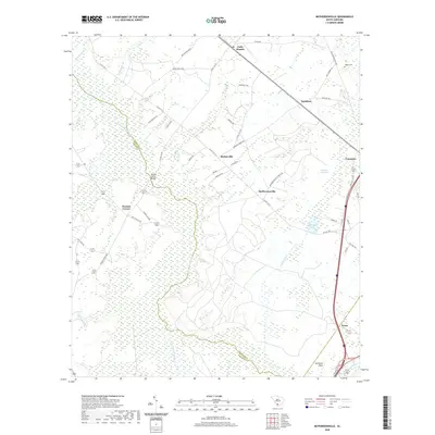
2011 McPhersonville
Hampton County, SC
2011 Shirley
Hampton County, SC
2014 Brighton
Hampton County, SC
2014 Crocketville
Hampton County, SC
2014 Cummings
Hampton County, SC
2014 McPhersonville
Hampton County, SC
2014 Shirley
Hampton County, SC
2017 Brighton
Hampton County, SC
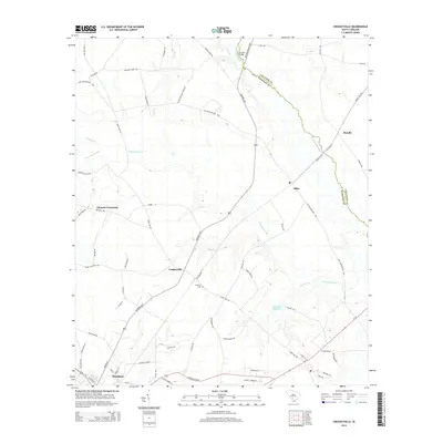
2017 Crocketville
Hampton County, SC
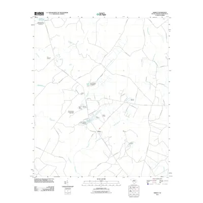
2017 Cummings
Hampton County, SC
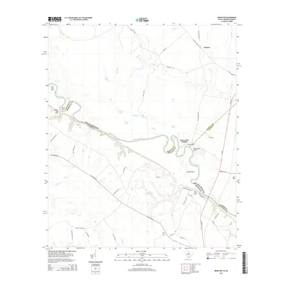
2017 McPhersonville
Hampton County, SC
2017 Shirley
Hampton County, SC
2020 Brighton
Hampton County, SC
2020 Crocketville
Hampton County, SC
2020 Cummings
Hampton County, SC
2020 McPhersonville
Hampton County, SC
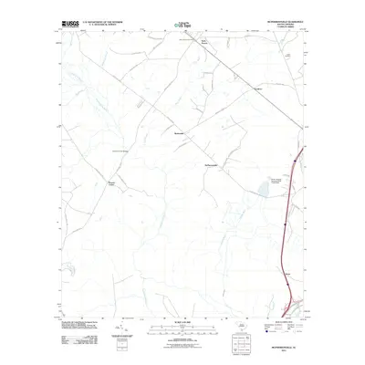
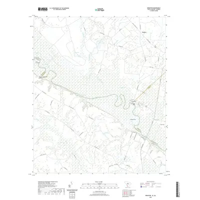
2020 Shirley
Hampton County, SC
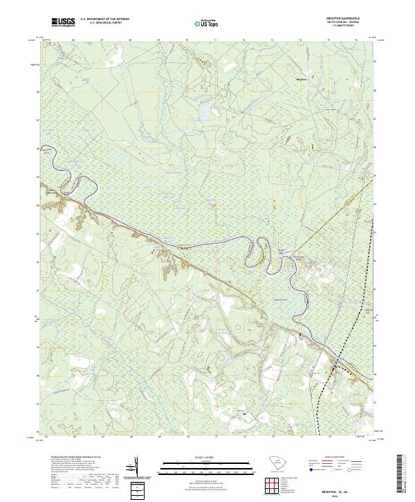
2024 Brighton
Hampton County, SC
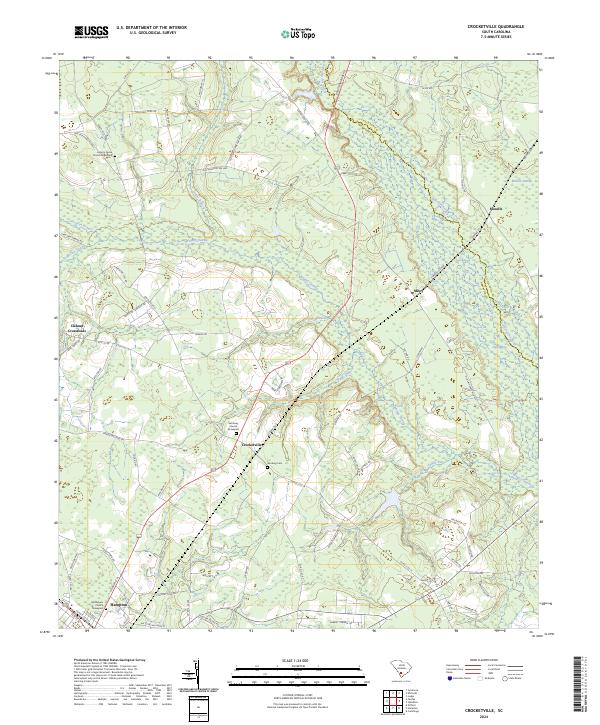
2024 Crocketville
Hampton County, SC
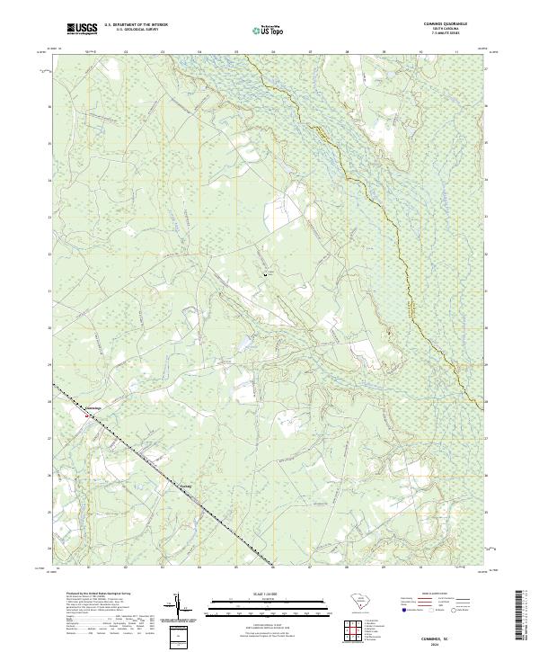
2024 Cummings
Hampton County, SC
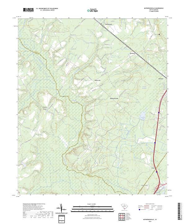
2024 McPhersonville
Hampton County, SC
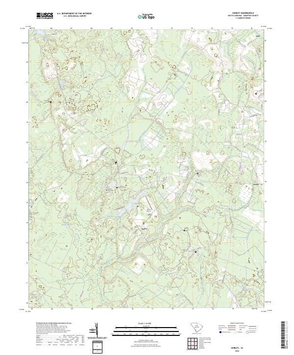
2024 Shirley
Hampton County, SC