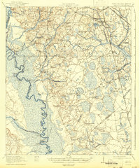
1920 Map of Peeples
USGS Topo · Published 1943About this map
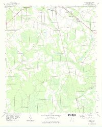
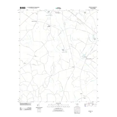
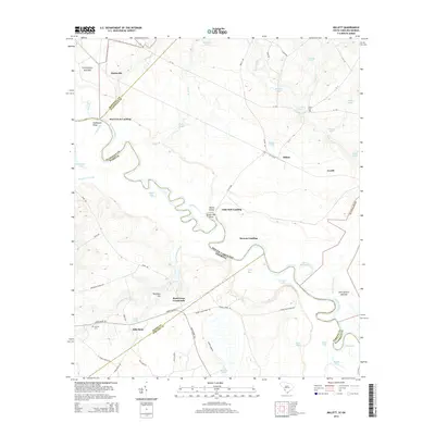
The Savannah River defines the western edge of this 1918 survey, its winding course marked by landings and points such as Fennell Hill Landing and Wildcat Pt. Inland, the Lowcountry landscape of the South Carolina-Georgia border is a network of small agricultural settlements and rural social centers. Numerous schools, including Buddenville School and Near River School, are scattered across the terrain alongside crossroads like Woods Crossroads and Solomons Crossroads.
Find a feature on this map
78 named features on this map. Tap any name to fly to it.
Don’t see what you’re looking for? This feature index may not catch every label — zoom into the map to look around manually.
Map Details
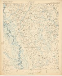
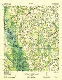
Editions of this 1920 Peeples Map
3 editions found

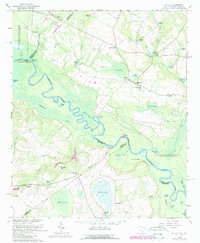
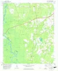
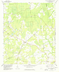
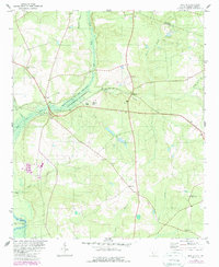
Historical Maps of Allendale Through Time
32 maps found
1920 Peeples
Allendale County, SC
1943 Peeples
Allendale County, SC
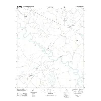
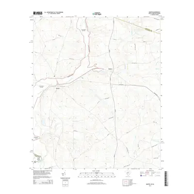
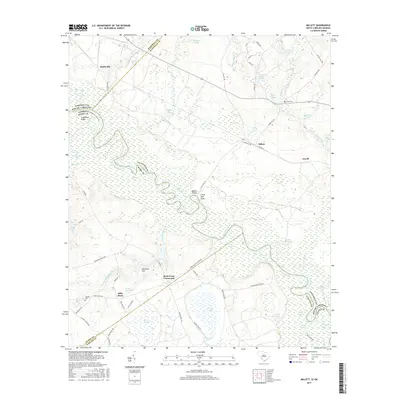
1964 Millett
Allendale County, SC
1978 Barton
Allendale County, SC
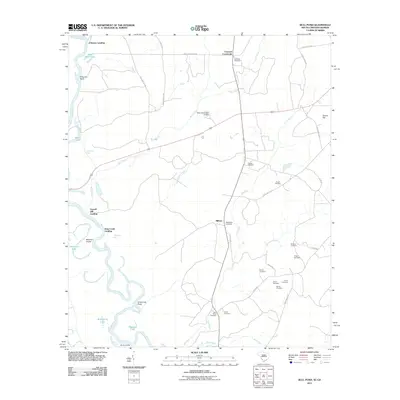
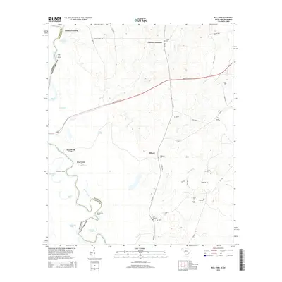
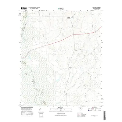
1978 Bull Pond
Allendale County, SC
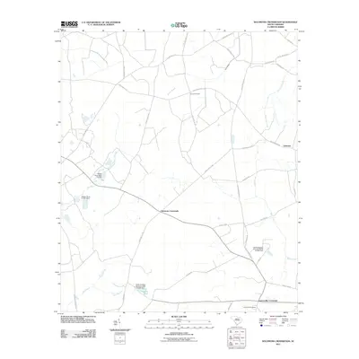
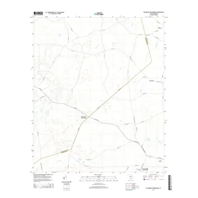
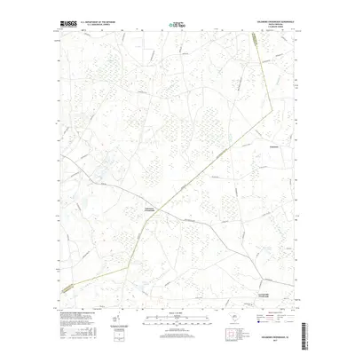
1978 Solomons Crossroads
Allendale County, SC
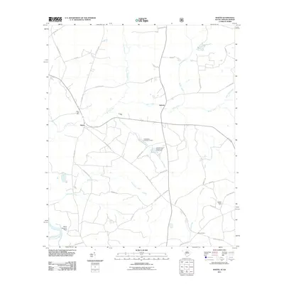
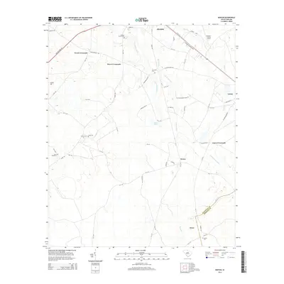
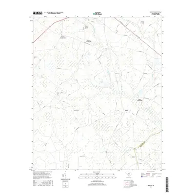
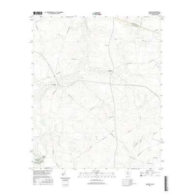
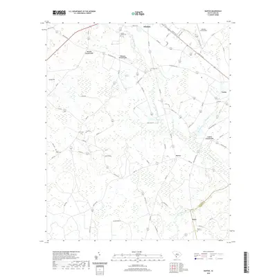
1979 Martin
Allendale County, SC
2011 Barton
Allendale County, SC
2011 Bull Pond
Allendale County, SC
2011 Martin
Allendale County, SC
2011 Millett
Allendale County, SC
2011 Solomons Crossroads
Allendale County, SC
2014 Barton
Allendale County, SC
2014 Bull Pond
Allendale County, SC
2014 Martin
Allendale County, SC
2014 Millett
Allendale County, SC
2014 Solomons Crossroads
Allendale County, SC
2017 Barton
Allendale County, SC
2017 Bull Pond
Allendale County, SC
2017 Martin
Allendale County, SC
2017 Millett
Allendale County, SC
2017 Solomons Crossroads
Allendale County, SC
2020 Barton
Allendale County, SC
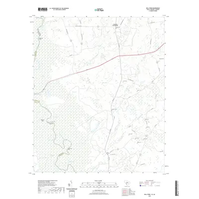
2020 Bull Pond
Allendale County, SC
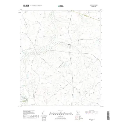
2020 Martin
Allendale County, SC
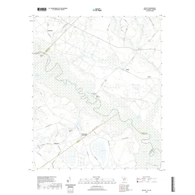
2020 Millett
Allendale County, SC
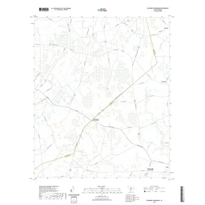
2020 Solomons Crossroads
Allendale County, SC
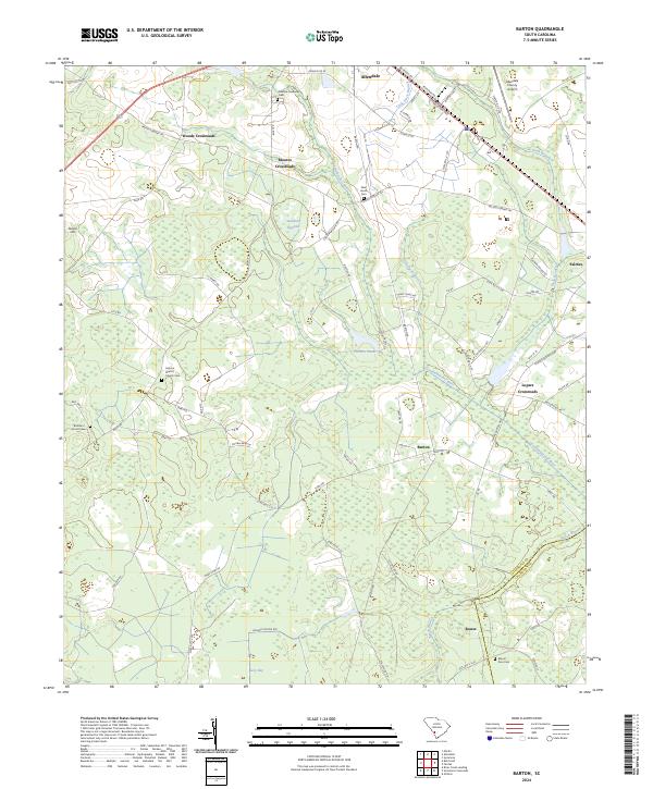
2024 Barton
Allendale County, SC
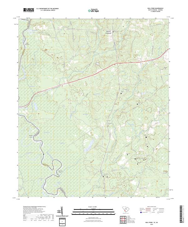
2024 Bull Pond
Allendale County, SC
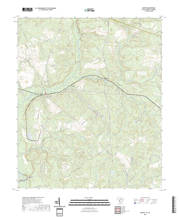
2024 Martin
Allendale County, SC
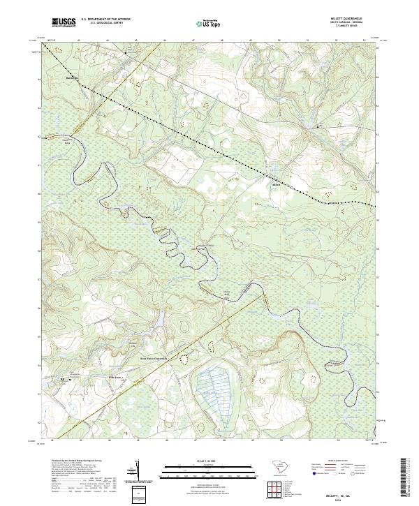
2024 Millett
Allendale County, SC
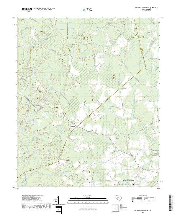
2024 Solomons Crossroads
Allendale County, SC