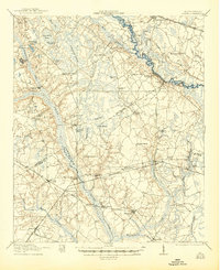
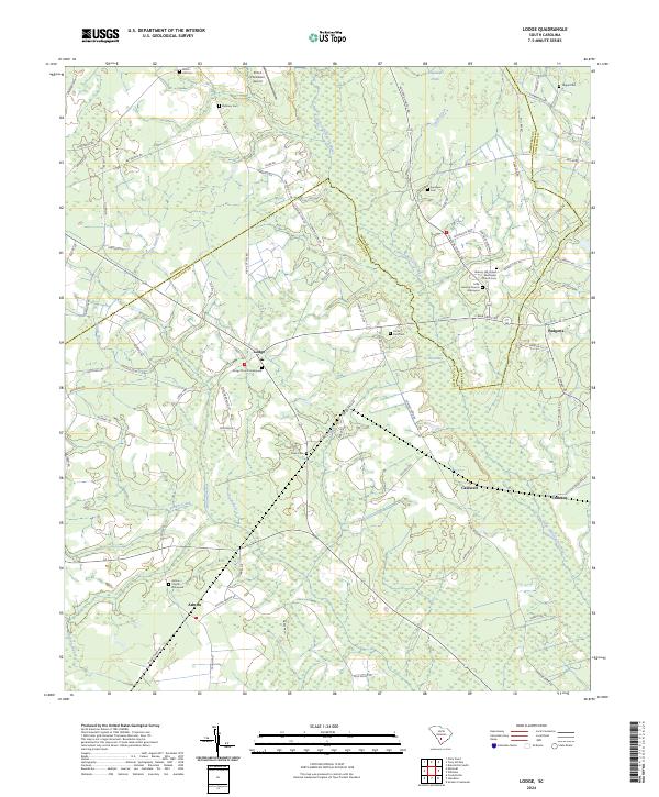
1920 Map of Lodge
USGS Topo · Published 1920About this map
Lodge and the surrounding Colleton County countryside are defined by a complex network of wetlands and river systems just after the turn of the century. The Little Salkehatchie River and the Salkehatchie River meander through the terrain, flanked by numerous "bays" and drains such as Tony Hill Bay and Copeland Drain. This 1920 survey reveals a deeply established rural community, marked by a dense distribution of local institutions including Hunters Chapel and Tabernacle School.
Find a feature on this map
63 named features on this map. Tap any name to fly to it.
Don’t see what you’re looking for? This feature index may not catch every label — zoom into the map to look around manually.
Map Details
Editions of this 1920 Lodge Map
This is the sole edition of this map. No revisions or reprints were ever made.
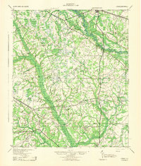
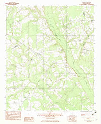
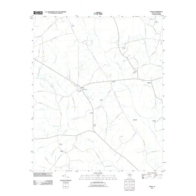
Historical Maps of Branchville Through Time
10 maps found