2023 Map of Blakeslee
USGS Topo · Published 2023About this map
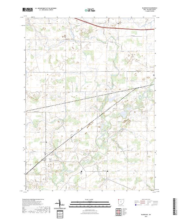
Blakeslee serves as the primary settlement in this corner of Williams County, situated near the confluence of local drainages and a well-defined grid of county roads. The landscape is defined by the winding course of the Saint Joseph River, which is fed by numerous tributaries including Eagle Creek, Bear Creek, and Matthews Creek. This hydrological network has historically influenced the placement of early homesteads and community sites, evidenced by the distribution of family and community burial grounds such as West Buffalo Cem, Hepker Cem, and Union Chapel Cem. The village itself is home to Saint Joseph Cem and Marvin Thiel Field, indicating its role as a local center for social and religious life. The surrounding agricultural land is methodically partitioned, reflecting the enduring legacy of the Public Land Survey System across the Ohio countryside.
Find a feature on this map
55 named features on this map. Tap any name to fly to it.
Don’t see what you’re looking for? This feature index may not catch every label — zoom into the map to look around manually.
Map Details
Editions of this 2023 Blakeslee Map
This is the sole edition of this map. No revisions or reprints were ever made.
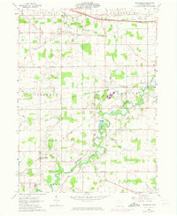
Historical Maps of Florence Township Through Time
Featured Locations
- Bridgewater Township, OH
- Center Township, OH
- Northwest Township, OH
- Superior Township, OH
- Blakeslee, Florence Township