Loading...
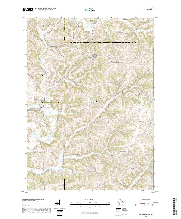
Loading map...2022 Map of Blanchardville
USGS Topo · Published 2022About this map
Blanchardville sits at the confluence of Gordon Cr and the East Branch Pecatonica River, serving as a central hub for the surrounding agricultural valleys of Iowa and Lafayette counties. The landscape is defined by its deep coulees and ridges, including Indian Hill Ridge and Step Valley, which have dictated the winding paths of rural roads like Horseshoe Bend Rd and Drammen Valley Rd.
Find a feature on this map
77 named features on this map. Tap any name to fly to it.
Don’t see what you’re looking for? This feature index may not catch every label — zoom into the map to look around manually.
Map Details
Date Portrayed2022
Date Published2022
PublisherU.S. Geological Survey
Map TypeTopographic
Scale1:24000
Physical Dimensions24 x 29 inches
Editions of this 2022 Blanchardville Map
This is the sole edition of this map. No revisions or reprints were ever made.
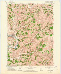
Historical Maps of Dane County Through Time
4 maps found


Featured Locations
Source Details
SourceU.S. Geological Survey
CopyrightPublic Domain