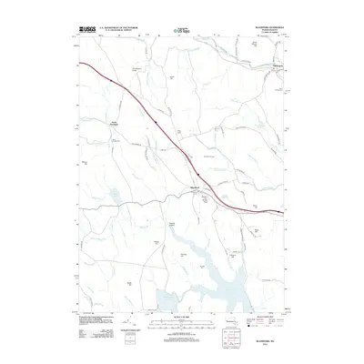
2012 Map of Blandford
USGS Topo · Published 2012About this map
Blandford and Huntington anchor this topographical study of the Berkshire foothills, where the landscape is defined by massive water management projects and a high-elevation ridge system. The southern portion of the map is dominated by the Cobble Mountain Reservoir and Borden Brook Reservoir, essential components of the region's hydraulic infrastructure fed by numerous streams like Borden Brook and Middle Brook. Along the high ground, geological curiosities like The Volcanic Crater and Sunset Rock sit near the Blandford Ski Area, illustrating the area's transition into a destination for recreation and conservation.
Find a feature on this map
95 named features on this map. Tap any name to fly to it.
Don’t see what you’re looking for? This feature index may not catch every label — zoom into the map to look around manually.
Map Details
Editions of this 2012 Blandford Map
This is the sole edition of this map. No revisions or reprints were ever made.
Other maps of this area

1886 · Chesterfield
USGS Topo · 1:62,500

1886 · Becket
USGS Topo · 1:62,500

1887 · Granville
USGS Topo · 1:62,500

1888 · Becket
USGS Topo · 1:62,500

1888 · Sandisfield
USGS Topo · 1:62,500

1888 · Chesterfield
USGS Topo · 1:62,500

1889 · Granville
USGS Topo · 1:62,500

1893 · Granville
USGS Topo · 1:62,500

1893 · Chesterfield
USGS Topo · 1:62,500

1893 · Becket
USGS Topo · 1:62,500