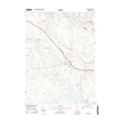
2015 Map of Blandford
USGS Topo · Published 2015About this map
Blandford and the surrounding Berkshire highlands are defined by a complex network of brooks and steep ridges at the Hampshire and Hampden county line. The landscape is dotted with several notable burial sites including the Old Burying Ground and North Blandford Cem, providing a clear record of early regional settlement. Water management is a central theme, with the Huntington Reservoir and Black Brook Reservoir occupying significant valleys alongside numerous smaller bodies like Beaver Pond and Cochran Pond.
Find a feature on this map
89 named features on this map. Tap any name to fly to it.
Don’t see what you’re looking for? This feature index may not catch every label — zoom into the map to look around manually.
Map Details
Editions of this 2015 Blandford Map
This is the sole edition of this map. No revisions or reprints were ever made.
Other maps of this area

1886 · Chesterfield
USGS Topo · 1:62,500

1886 · Becket
USGS Topo · 1:62,500

1887 · Granville
USGS Topo · 1:62,500

1888 · Becket
USGS Topo · 1:62,500

1888 · Sandisfield
USGS Topo · 1:62,500

1888 · Chesterfield
USGS Topo · 1:62,500

1889 · Granville
USGS Topo · 1:62,500

1893 · Granville
USGS Topo · 1:62,500

1893 · Chesterfield
USGS Topo · 1:62,500

1893 · Becket
USGS Topo · 1:62,500