
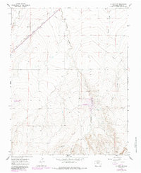
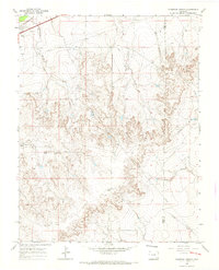
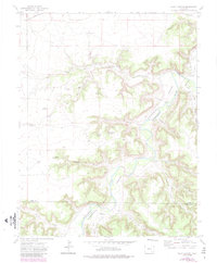
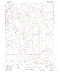
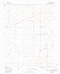
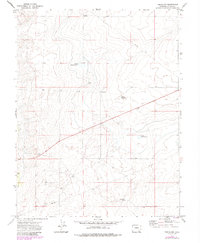
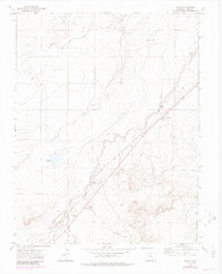
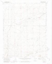
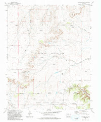
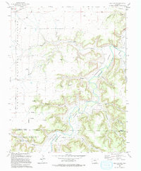
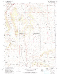
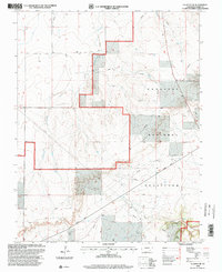
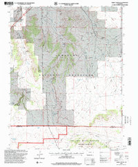
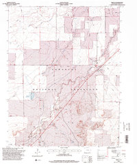
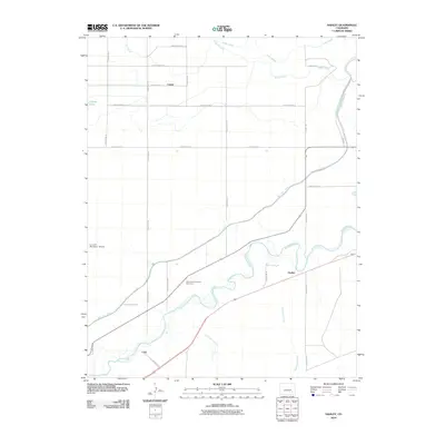
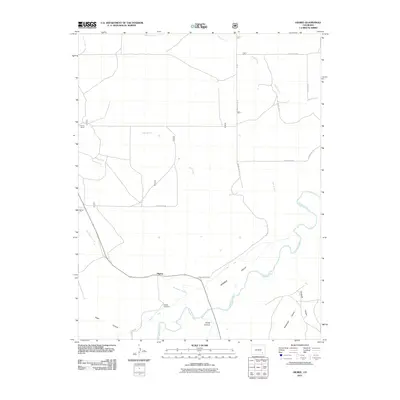
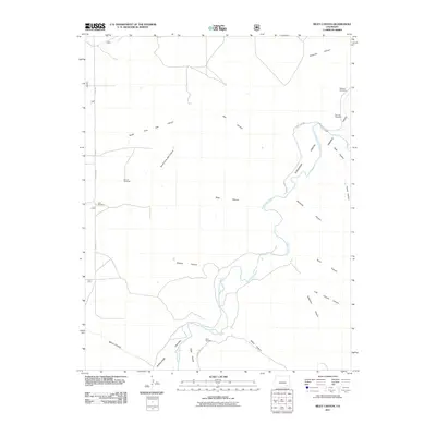
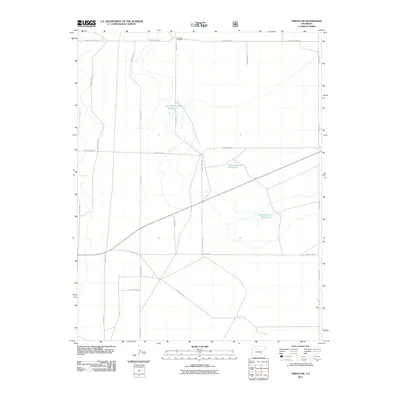
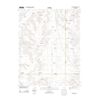
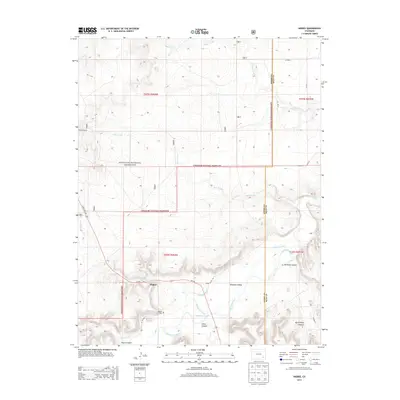
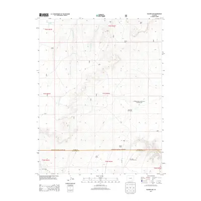
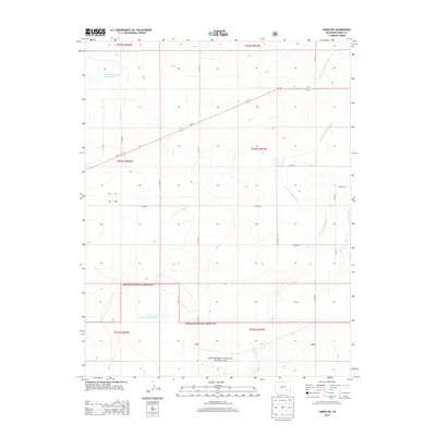
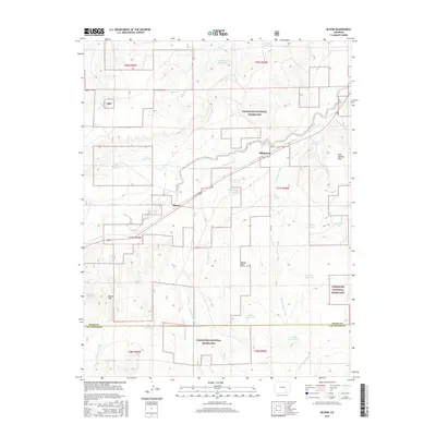
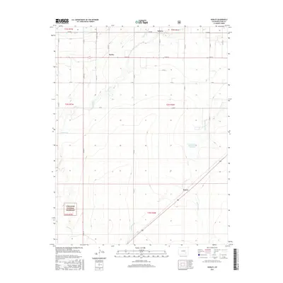
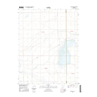
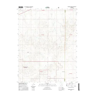
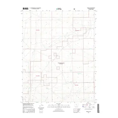
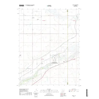
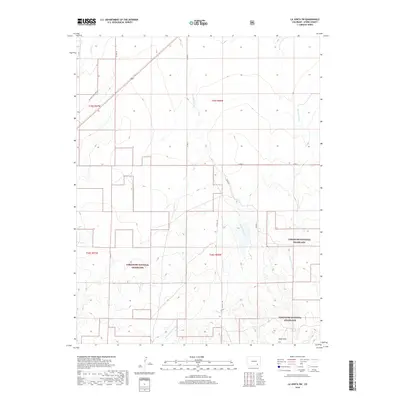
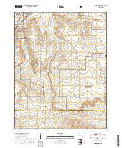
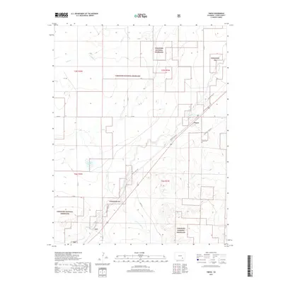
1993 Map of Bloom
USGS Topo · Published 1993About this map
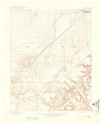
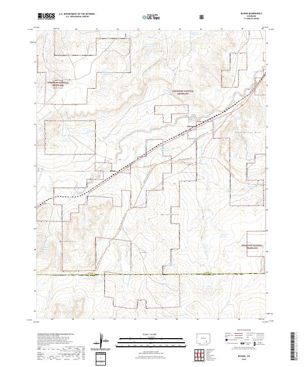
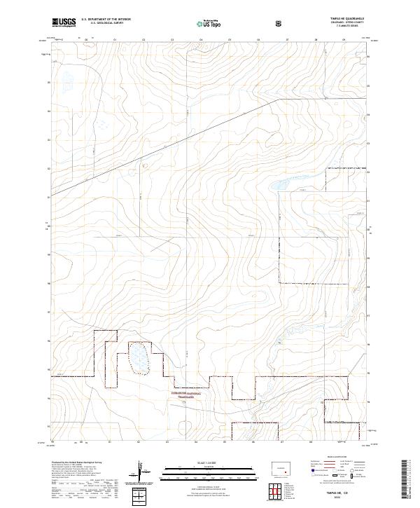
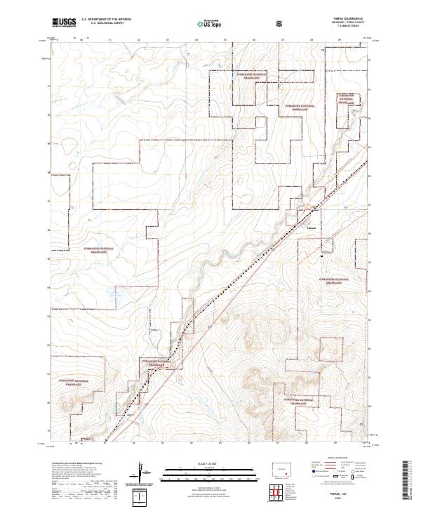
The Historic Santa Fe Trail cuts a diagonal path through this landscape, paralleled by the Atchison Topeka and Santa Fe railroad, marking a corridor of transit and history in southern Colorado. The terrain within the Comanche National Grassland is defined by a series of drainages and arroyos, including the Bear Springs Arroyo and Iron Springs Arroyo, which flow toward the Timpas.
Find a feature on this map
42 named features on this map. Tap any name to fly to it.
Don’t see what you’re looking for? This feature index may not catch every label — zoom into the map to look around manually.
Map Details
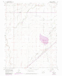
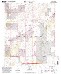
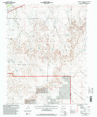
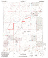
Editions of this 1993 Bloom Map
This is the sole edition of this map. No revisions or reprints were ever made.
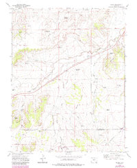
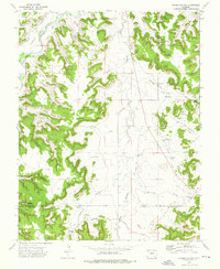
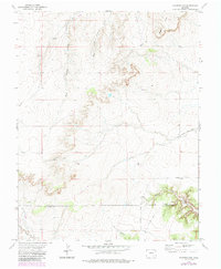
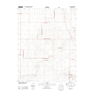
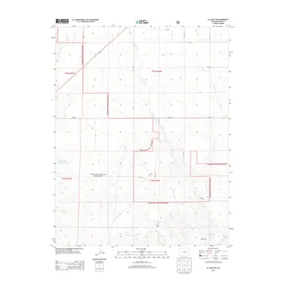
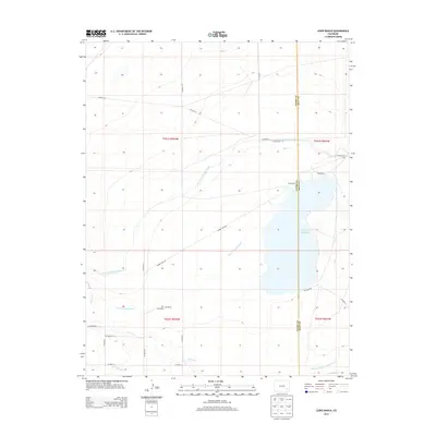
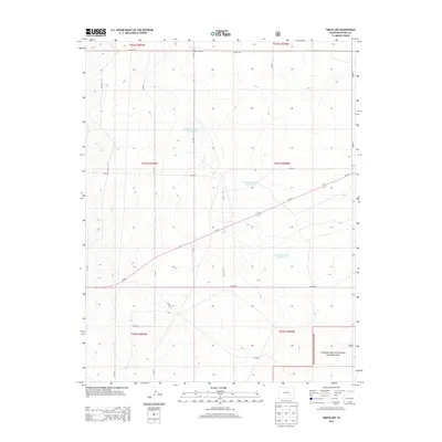
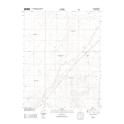
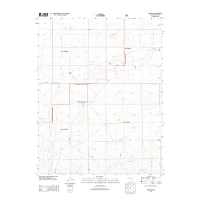
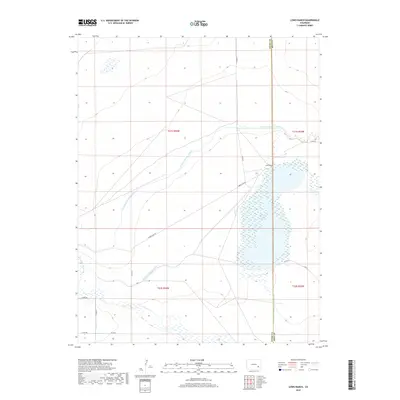
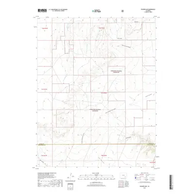
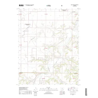
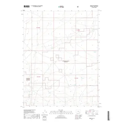
Historical Maps of Bloom Through Time
121 maps found

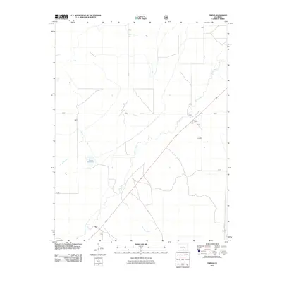
1891 Timpas
Otero County, CO
1894 Timpas
Otero County, CO
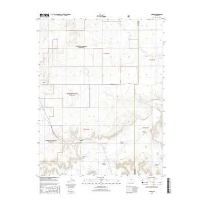
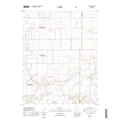
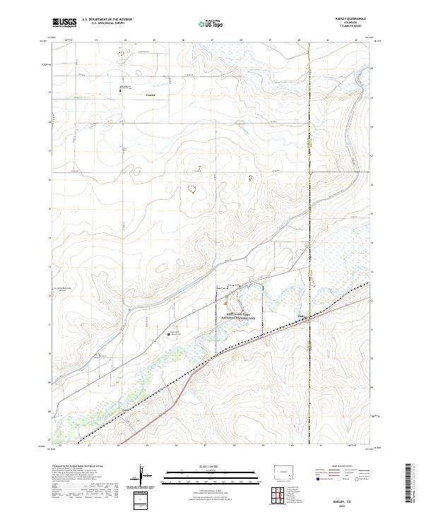
1953 Hadley
Otero County, CO
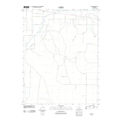
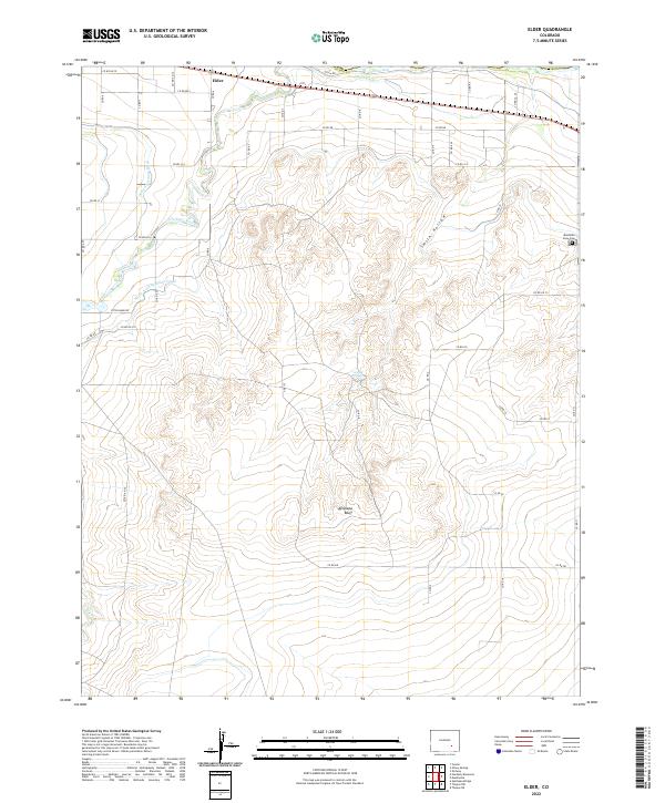
1954 Elder
Otero County, CO
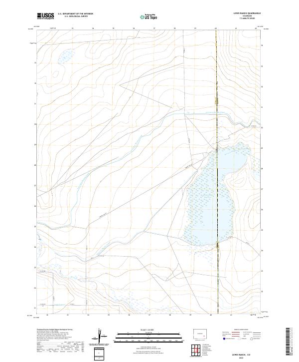
1955 Lewis Ranch
Otero County, CO
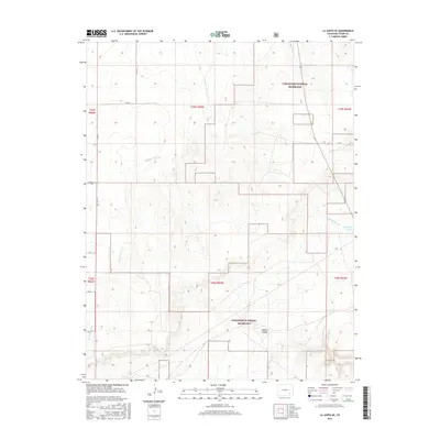
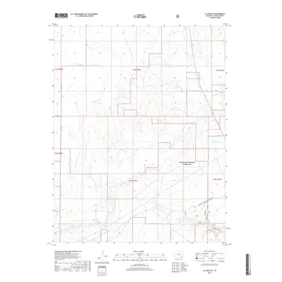
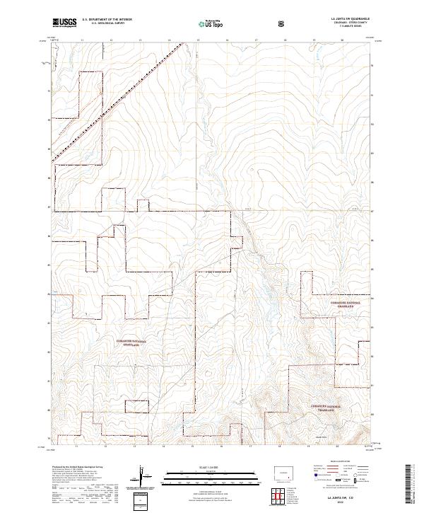
1965 La Junta SW
Otero County, CO
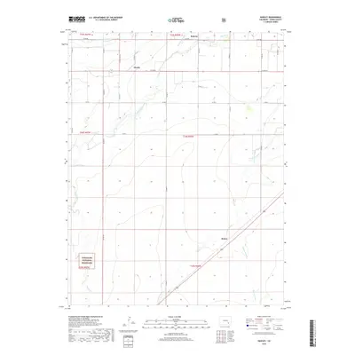
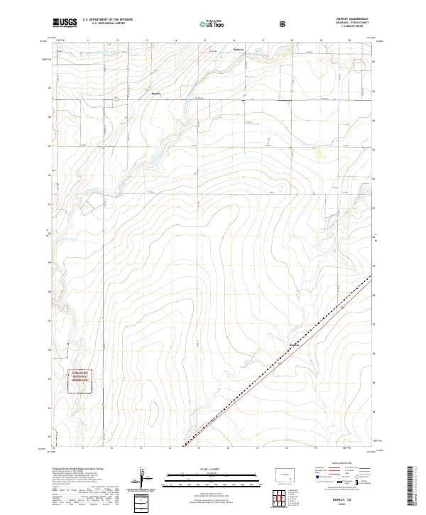
1966 Hawley
Otero County, CO
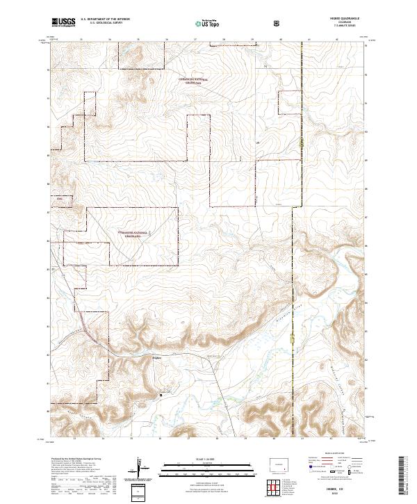
1966 Higbee
Otero County, CO
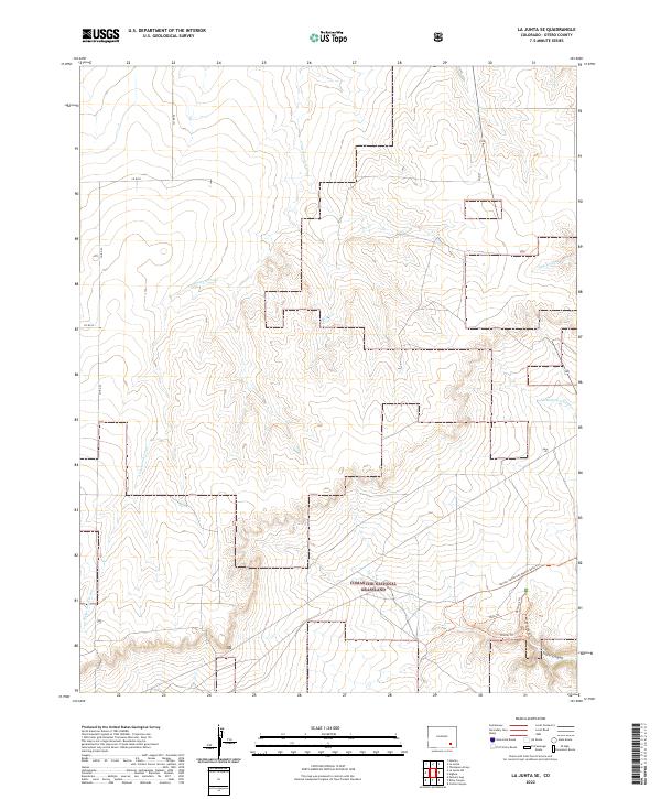
1966 La Junta SE
Otero County, CO
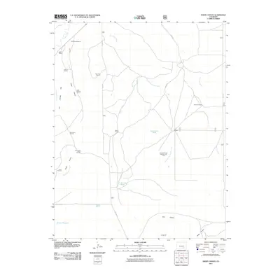
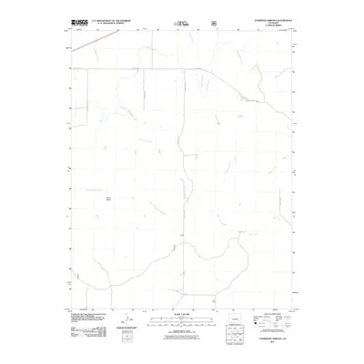
1966 Thompson Arroyo
Otero County, CO
1972 Bloom
Otero County, CO
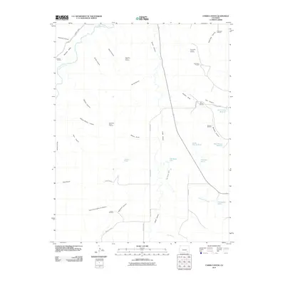
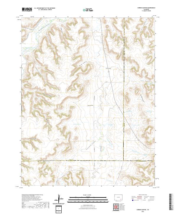
1972 Corbin Canyon
Otero County, CO
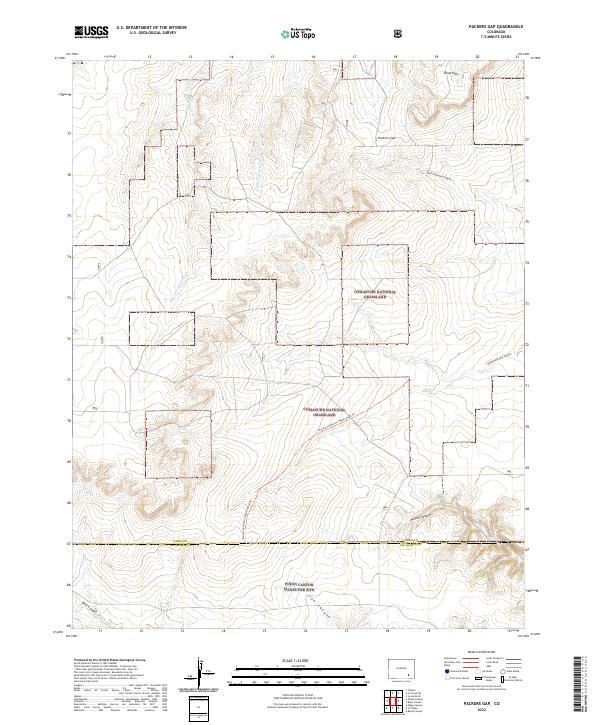
1972 Packers Gap
Otero County, CO
1972 Riley Canyon
Otero County, CO
1972 Sheep Canyon
Otero County, CO
1972 Timpas NE
Otero County, CO
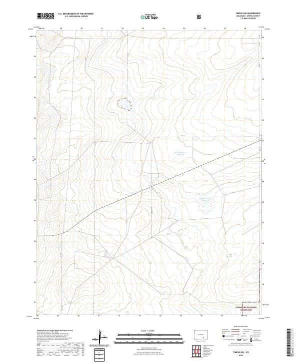
1972 Timpas NW
Otero County, CO
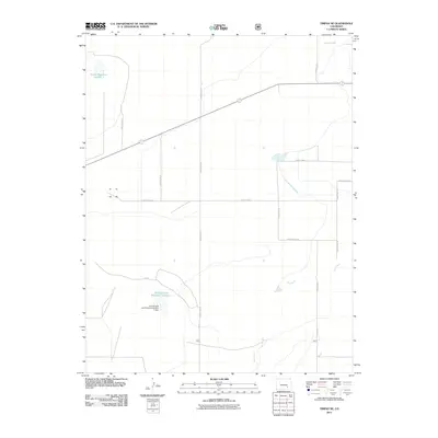
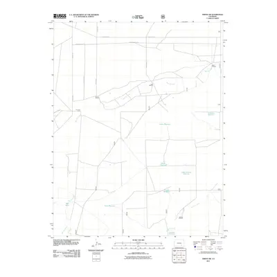
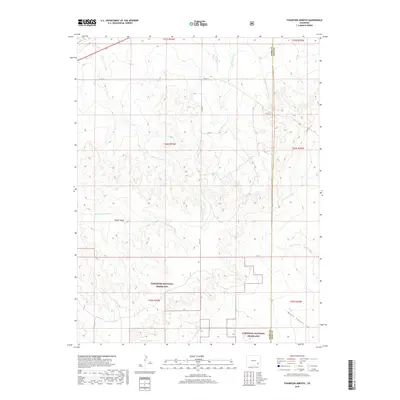
1972 Timpas
Otero County, CO
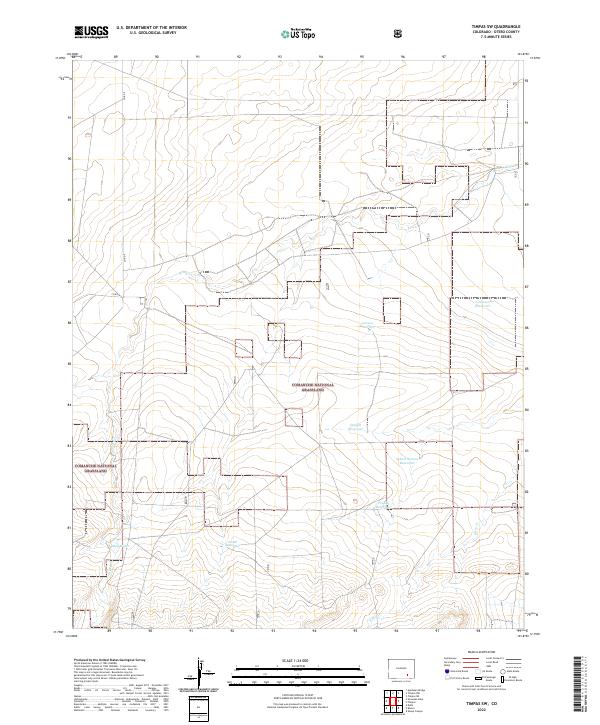
1972 Timpas SW
Otero County, CO
1993 Bloom
Otero County, CO
1993 Packers Gap
Otero County, CO
1993 Riley Canyon
Otero County, CO
1993 Sheep Canyon
Otero County, CO
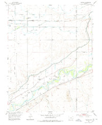
1996 Bloom
Otero County, CO
1996 Hawley
Otero County, CO
1996 Higbee
Otero County, CO
1996 La Junta SE
Otero County, CO
1996 La Junta SW
Otero County, CO
1996 Packers Gap
Otero County, CO
1996 Riley Canyon
Otero County, CO
1996 Sheep Canyon
Otero County, CO
1996 Thompson Arroyo
Otero County, CO
1996 Timpas NE
Otero County, CO
1996 Timpas NW
Otero County, CO
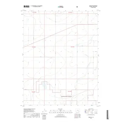
1996 Timpas
Otero County, CO
1996 Timpas SW
Otero County, CO
2010 Corbin Canyon
Otero County, CO
2010 Elder
Otero County, CO
2010 Hadley
Otero County, CO
2010 Lewis Ranch
Otero County, CO
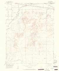
2011 Bloom
Otero County, CO
2011 Hawley
Otero County, CO
2011 Higbee
Otero County, CO
2011 La Junta SE
Otero County, CO
2011 La Junta SW
Otero County, CO
2011 Packers Gap
Otero County, CO
2011 Riley Canyon
Otero County, CO
2011 Sheep Canyon
Otero County, CO
2011 Thompson Arroyo
Otero County, CO
2011 Timpas NE
Otero County, CO
2011 Timpas NW
Otero County, CO
2011 Timpas
Otero County, CO
2011 Timpas SW
Otero County, CO
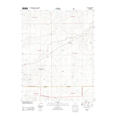
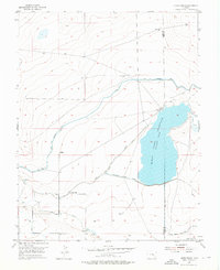
2013 Bloom
Otero County, CO
2013 Corbin Canyon
Otero County, CO
2013 Elder
Otero County, CO
2013 Hadley
Otero County, CO
2013 Hawley
Otero County, CO
2013 Higbee
Otero County, CO
2013 La Junta SE
Otero County, CO
2013 La Junta SW
Otero County, CO
2013 Lewis Ranch
Otero County, CO
2013 Packers Gap
Otero County, CO
2013 Riley Canyon
Otero County, CO
2013 Sheep Canyon
Otero County, CO
2013 Thompson Arroyo
Otero County, CO
2013 Timpas NE
Otero County, CO
2013 Timpas NW
Otero County, CO
2013 Timpas
Otero County, CO
2013 Timpas SW
Otero County, CO
2016 Bloom
Otero County, CO
2016 Corbin Canyon
Otero County, CO
2016 Elder
Otero County, CO
2016 Hadley
Otero County, CO
2016 Hawley
Otero County, CO
2016 Higbee
Otero County, CO
2016 La Junta SE
Otero County, CO
2016 La Junta SW
Otero County, CO
2016 Lewis Ranch
Otero County, CO
2016 Packers Gap
Otero County, CO
2016 Riley Canyon
Otero County, CO
2016 Sheep Canyon
Otero County, CO
2016 Thompson Arroyo
Otero County, CO
2016 Timpas NE
Otero County, CO
2016 Timpas NW
Otero County, CO
2016 Timpas
Otero County, CO
2016 Timpas SW
Otero County, CO
2019 Bloom
Otero County, CO
2019 Corbin Canyon
Otero County, CO
2019 Elder
Otero County, CO
2019 Hadley
Otero County, CO
2019 Hawley
Otero County, CO
2019 Higbee
Otero County, CO
2019 La Junta SE
Otero County, CO
2019 La Junta SW
Otero County, CO
2019 Lewis Ranch
Otero County, CO
2019 Packers Gap
Otero County, CO
2019 Riley Canyon
Otero County, CO
2019 Sheep Canyon
Otero County, CO
2019 Thompson Arroyo
Otero County, CO
2019 Timpas NE
Otero County, CO
2019 Timpas NW
Otero County, CO
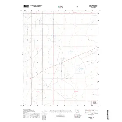
2019 Timpas
Otero County, CO
2019 Timpas SW
Otero County, CO
2022 Bloom
Otero County, CO
2022 Corbin Canyon
Otero County, CO
2022 Elder
Otero County, CO
2022 Hadley
Otero County, CO
2022 Hawley
Otero County, CO
2022 Higbee
Otero County, CO
2022 La Junta SE
Otero County, CO
2022 La Junta SW
Otero County, CO
2022 Lewis Ranch
Otero County, CO
2022 Packers Gap
Otero County, CO
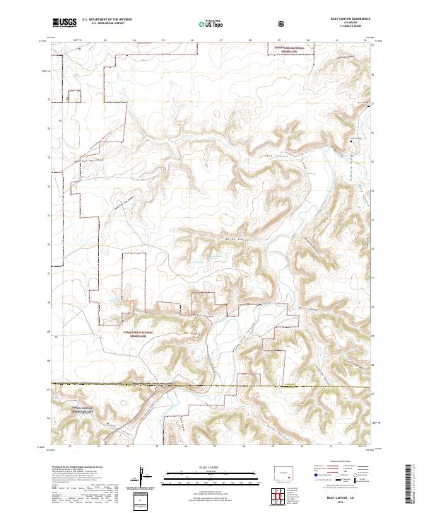
2022 Riley Canyon
Otero County, CO
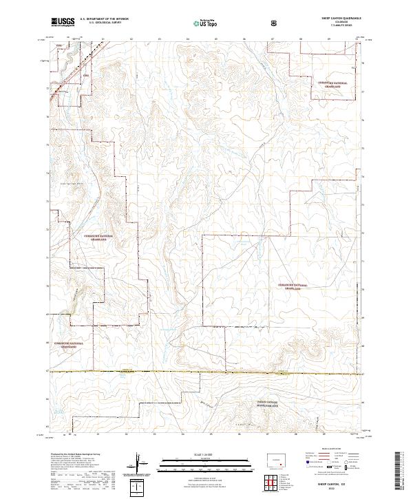
2022 Sheep Canyon
Otero County, CO
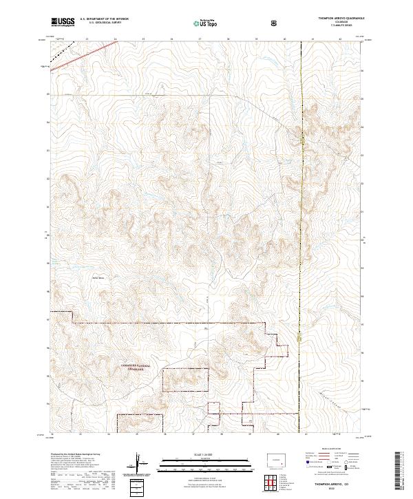
2022 Thompson Arroyo
Otero County, CO
2022 Timpas NE
Otero County, CO
2022 Timpas NW
Otero County, CO
2022 Timpas
Otero County, CO
2022 Timpas SW
Otero County, CO