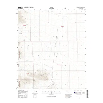
2014 Map of Blue Mountain
USGS Topo · Published 2014About this map
Blue Mountain serves as the dominant high point in this corner of Coronado National Forest, where high-elevation terrain gives way to the drainage systems of the San Simon Valley. The landscape is defined by its dramatic rock formations and relief, including the jagged profile of The Nippers and the prominent San Simon Head to the northwest. These landmarks have long served as navigational aids for travelers in southeastern Arizona.
Find a feature on this map
22 named features on this map. Tap any name to fly to it.
Don’t see what you’re looking for? This feature index may not catch every label — zoom into the map to look around manually.
Map Details
Editions of this 2014 Blue Mountain Map
This is the sole edition of this map. No revisions or reprints were ever made.
Other maps of this area

1917 · San Simon
USGS Topo · 1:125,000

1917 · Chiricahua
USGS Topo · 1:125,000

1919 · Chiricahua
USGS Topo · 1:125,000

1926 · Cochise Head
USGS Topo · 1:62,500

1926 · Rodeo
USGS Topo · 1:62,500

1926 · Rucker
USGS Topo · 1:62,500

1928 · Chenoweth
USGS Topo · 1:62,500

1950 · Cochise Head
USGS Topo · 1:62,500

1950 · Vanar
USGS Topo · 1:62,500

1951 · Vanar
USGS Topo · 1:62,500