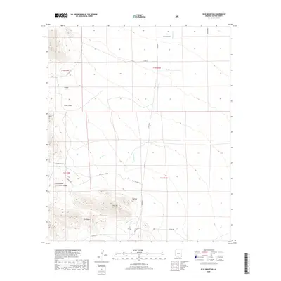
2018 Map of Blue Mountain
USGS Topo · Published 2018About this map
Blue Mtn and the prominent high ground of Haystack dominate this landscape in eastern Cochise County, where the borders of the Coronado National Forest encompass a complex system of drainages and peaks. The map reveals a high-elevation environment defined by distinctive geological formations like The Nippers, Split Rock, and the dramatic San Simon Head. Water moves through the terrain via Keating Cr and E Whitetail Cr, which carve through deep notches such as Triangle Canyon and Brushy Canyon. Transport into this area relies on a network of unpaved tracks and ranch roads, including White Tail Canyon Rd, W Hilltop Rd, and S Noland Rd. This survey documents a contemporary view of the Chiricahua Mountain foothills, showing how modern access routes like W Airmail Rd navigate the township boundaries and rugged western Arizona topography.
Find a feature on this map
32 named features on this map. Tap any name to fly to it.
Don’t see what you’re looking for? This feature index may not catch every label — zoom into the map to look around manually.
Map Details
Editions of this 2018 Blue Mountain Map
This is the sole edition of this map. No revisions or reprints were ever made.
Other maps of this area

1917 · San Simon
USGS Topo · 1:125,000

1917 · Chiricahua
USGS Topo · 1:125,000

1919 · Chiricahua
USGS Topo · 1:125,000

1926 · Cochise Head
USGS Topo · 1:62,500

1926 · Rodeo
USGS Topo · 1:62,500

1926 · Rucker
USGS Topo · 1:62,500

1928 · Chenoweth
USGS Topo · 1:62,500

1950 · Cochise Head
USGS Topo · 1:62,500

1950 · Vanar
USGS Topo · 1:62,500

1951 · Vanar
USGS Topo · 1:62,500