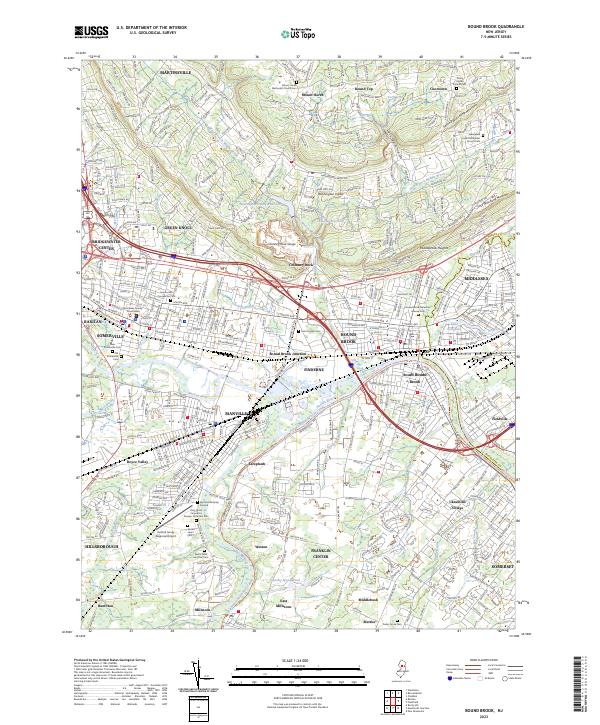
2023 Map of Bound Brook
USGS Topo · Published 2023About this map
The Raritan River corridor serves as the central artery for this densely populated Somerset County region, where historic water power and modern transport converge. The Delaware and Raritan Canal runs parallel to the river, winding past Manville and Zarephath, providing a clear record of the area's industrial transit heritage. To the north, the elevation rises sharply toward First Watchung Mountain and Second Watchung Mountain, separated by the Washington Valley Reservoir. The map documents a complex network of suburban and urban centers, from the legal hub at the Somerset County Courthouse in Somerville to the residential districts of Bound Brook and Middlesex. Notable for genealogists are the numerous burial grounds, including the Old Somerville Cem and the Bound Brook Mountain Avenue Cem, which anchor these long-standing communities.
Find a feature on this map
72 named features on this map. Tap any name to fly to it.
Don’t see what you’re looking for? This feature index may not catch every label — zoom into the map to look around manually.
Map Details
Editions of this 2023 Bound Brook Map
This is the sole edition of this map. No revisions or reprints were ever made.
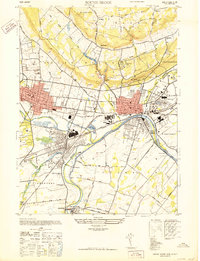
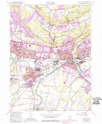
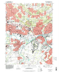
Historical Maps of Raritan Through Time
4 maps found
Featured Locations
- Middlesex, NJ
- Piscataway Township, NJ
- Bridgewater Township, NJ
- Franklin Township, NJ
- Hillsborough Township, NJ