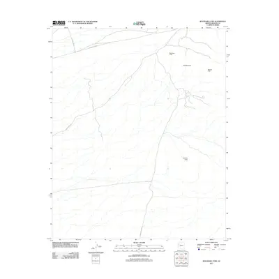
2011 Map of Boundary Cone
USGS Topo · Published 2011About this map
Boundary Cone rises as a prominent landmark in this desert landscape of Mohave County, marking a terrain defined by the eastern reaches of the Ute Mountains. The 2011 survey reveals a network of roads that navigate the arid topography, including the Oatman Topock Hwy which cuts north-south across the eastern section, connecting regional travel routes. To the north, Boundary Cone Rd and Vanderslice Rd intersect, while the Harpers Wash Rd skirts the western edge. These corridors provide access to isolated high points like Wrigley Peak and McHeffy Butte, which stand out against the drainage patterns that score the plains. The map illustrates how modern transportation infrastructure follows the natural contours of the basin between these volcanic formations.
Find a feature on this map
8 named features on this map. Tap any name to fly to it.
Don’t see what you’re looking for? This feature index may not catch every label — zoom into the map to look around manually.
Map Details
Editions of this 2011 Boundary Cone Map
This is the sole edition of this map. No revisions or reprints were ever made.
Other maps of this area

1886 · Camp Mohave
USGS Topo · 1:250,000

1892 · Camp Mohave
USGS Topo · 1:250,000

1903 · Needles
USGS Topo · 1:125,000

1904 · Needles Special
USGS Topo · 1:125,000

1926 · Mohave City
USGS Topo · 1:96,000

1942 · Camp Mohave
USGS Topo · 1:250,000

1947 · Kingman
USGS Topo · 1:250,000

1948 · Kingman
USGS Topo · 1:250,000

1950 · Davis Dam
USGS Topo · 1:62,500

1950 · Needles
USGS Topo · 1:62,500