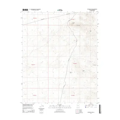
2014 Map of Boundary Cone
USGS Topo · Published 2014About this map
Boundary Cone rises as a prominent landmark within the Ute Mountains, anchoring a landscape defined by the stark relief of the Black Mountains. This 2014 survey documents the eastern reaches of the Mojave Desert in Mohave County, where the historic Oatman Hwy threads through the high-desert terrain. The map's detail highlights isolated geological formations like Wrigley Peak and McHeffy Butte, reflecting the complex volcanic and erosion-carved topography of the region. The intersection of Boundary Cone Rd and the main highway illustrates the sparse but critical transportation network that connects these remote desert peaks and high-elevation basins.
Find a feature on this map
14 named features on this map. Tap any name to fly to it.
Don’t see what you’re looking for? This feature index may not catch every label — zoom into the map to look around manually.
Map Details
Editions of this 2014 Boundary Cone Map
This is the sole edition of this map. No revisions or reprints were ever made.
Other maps of this area

1886 · Camp Mohave
USGS Topo · 1:250,000

1892 · Camp Mohave
USGS Topo · 1:250,000

1903 · Needles
USGS Topo · 1:125,000

1904 · Needles Special
USGS Topo · 1:125,000

1926 · Mohave City
USGS Topo · 1:96,000

1942 · Camp Mohave
USGS Topo · 1:250,000

1947 · Kingman
USGS Topo · 1:250,000

1948 · Kingman
USGS Topo · 1:250,000

1950 · Davis Dam
USGS Topo · 1:62,500

1950 · Needles
USGS Topo · 1:62,500