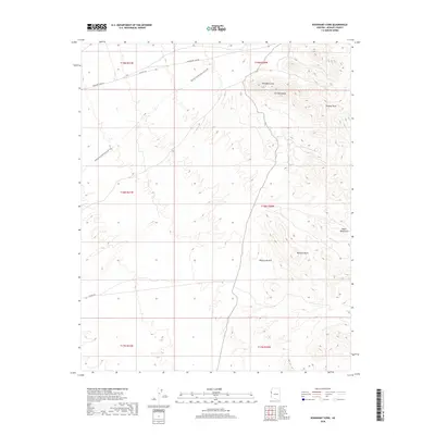
2018 Map of Boundary Cone
USGS Topo · Published 2018About this map
Boundary Cone stands as a prominent landmark within the Ute Mountains, a landscape defined by the transition from the high peaks of the Black Mountains to the arid expanse of the Mojave Desert. This 2018 survey illustrates the modern configuration of the area, where historical transportation routes have shifted from industrial to recreational use. The Mohave and Milltown Rail Trail traces a path through the terrain, indicating the legacy of early 20th-century mining and infrastructure that once connected this corner of Mohave County. Roads like Boundary Cone Rd and Co Hwy 153 provide access to this high-relief environment, which includes notable summits such as Wrigley Peak and McHeffy Butte. The map serves as a detailed guide for understanding how contemporary land management, including Bureau of Land Management oversight, preserves the geographic features of this desert corridor.
Find a feature on this map
16 named features on this map. Tap any name to fly to it.
Don’t see what you’re looking for? This feature index may not catch every label — zoom into the map to look around manually.
Map Details
Editions of this 2018 Boundary Cone Map
This is the sole edition of this map. No revisions or reprints were ever made.
Other maps of this area

1886 · Camp Mohave
USGS Topo · 1:250,000

1892 · Camp Mohave
USGS Topo · 1:250,000

1903 · Needles
USGS Topo · 1:125,000

1904 · Needles Special
USGS Topo · 1:125,000

1926 · Mohave City
USGS Topo · 1:96,000

1942 · Camp Mohave
USGS Topo · 1:250,000

1947 · Kingman
USGS Topo · 1:250,000

1948 · Kingman
USGS Topo · 1:250,000

1950 · Davis Dam
USGS Topo · 1:62,500

1950 · Needles
USGS Topo · 1:62,500