2022 Map of Bradford
USGS Topo · Published 2022About this map
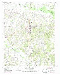
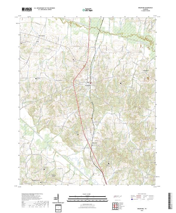
Bradford serves as the central hub of this West Tennessee landscape, where the agricultural flats are partitioned by the South Fork Obion River and the Rutherford Fork Obion River. This 2022 survey captures a rural network of small communities and crossroads such as Idlewild, Skullbone, and Lynn. The map is particularly dense with sites of genealogical interest, preserving the locations of numerous family and community burial grounds including Locust Grove Cem, Olivers Chapel Cem, and Davidson Chapel Cem.
Find a feature on this map
102 named features on this map. Tap any name to fly to it.
Don’t see what you’re looking for? This feature index may not catch every label — zoom into the map to look around manually.
Map Details
Editions of this 2022 Bradford Map
This is the sole edition of this map. No revisions or reprints were ever made.