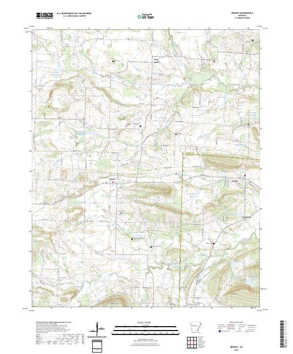
2024 Map of Branch
USGS Topo · Published 2024About this map
Branch and the neighboring settlements of Ratcliff and Caulksville anchor this detailed landscape along the Franklin Co and Logan Co border. The area is defined by a series of numbered man-made reservoirs and natural drainages like Sixmile Creek and Hurricane Creek, which flow through a terrain marked by prominent elevations such as Metcalf Hill and Bee Mtn. Small communities and family landmarks are preserved through numerous burial grounds, including King Cem, Council Cem, and Hunter Cem, reflecting a long-established rural network.
Find a feature on this map
102 named features on this map. Tap any name to fly to it.
Don’t see what you’re looking for? This feature index may not catch every label — zoom into the map to look around manually.
Map Details
Editions of this 2024 Branch Map
This is the sole edition of this map. No revisions or reprints were ever made.
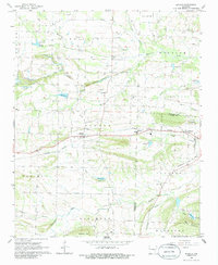
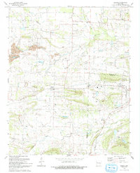
Historical Maps of Ratcliff Through Time
3 maps found