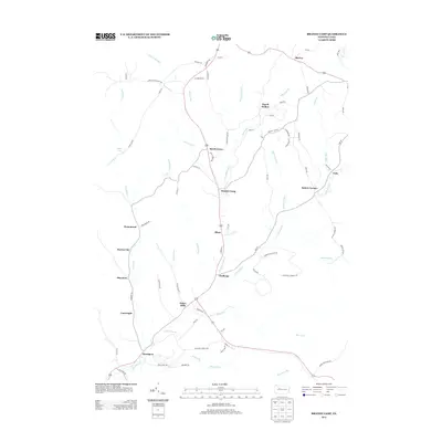
2013 Map of Brandy Camp
USGS Topo · Published 2013About this map
Brandy Camp and a string of small settlements define this portion of the Pennsylvania plateau as it appeared in the early 21st century. The map reveals a high concentration of named communities along the corridor formed by Brandy Camp Cr and Little Toby Cr, including Elbon, Challenge, and Helen Mills. The layout of these settlements, particularly Horton City and Shawmut to the west, reflects the region's industrial heritage where small company towns or rail stops were established in close proximity to resources and transport lines.
Find a feature on this map
79 named features on this map. Tap any name to fly to it.
Don’t see what you’re looking for? This feature index may not catch every label — zoom into the map to look around manually.
Map Details
Editions of this 2013 Brandy Camp Map
This is the sole edition of this map. No revisions or reprints were ever made.
Other maps of this area

1922 · Du Bois
USGS Topo · 1:62,500

1924 · Du Bois
USGS Topo · 1:62,500

1929 · Penfield
USGS Topo · 1:62,500

1932 · Penfield
USGS Topo · 1:62,500

1940 · Hallton
USGS Topo · 1:48,000

1941 · Ridgway
USGS Topo · 1:62,500

1943 · Hallton
USGS Topo · 1:62,500

1944 · Du Bois
USGS Topo · 1:62,500

1944 · Ridgway
USGS Topo · 1:62,500

1957 · Warren
USGS Topo · 1:250,000
Featured Places
- Challenge, Horton Township
- Drummond, Horton Township
- Kylers Corners, Fox Township
- Fox Township, PA
- Brandy Camp, Horton Township