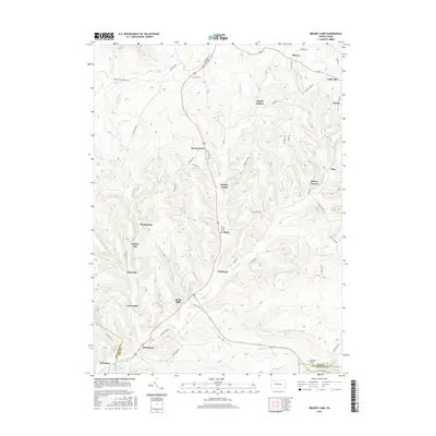
2016 Map of Brandy Camp
USGS Topo · Published 2016About this map
Brandy Camp and its neighboring hamlets sit at the heart of this North Central Pennsylvania survey, where the drainages of Brandy Camp Cr and Little Toby Creek carve through the high plateaus of Elk and Jefferson counties. The settlement pattern reflects a history of extraction and industry, with clustered villages like Shawmut, Elbon, and Brockport following the valley floors. Significant local landmarks include the Holy Cross Cem near Elbon and the industrial remnants at Shawmut Reservoir. The landscape is a network of ridges and hollows, such as Squab Hollow, where modern roads like the German Settlement Rd follow much older paths of movement. Further south, Boone Mtn defines the horizon near the Clearfield County line, overseeing a region defined by its numerous small runs and creeks.
Find a feature on this map
67 named features on this map. Tap any name to fly to it.
Don’t see what you’re looking for? This feature index may not catch every label — zoom into the map to look around manually.
Map Details
Editions of this 2016 Brandy Camp Map
This is the sole edition of this map. No revisions or reprints were ever made.
Other maps of this area

1922 · Du Bois
USGS Topo · 1:62,500

1924 · Du Bois
USGS Topo · 1:62,500

1929 · Penfield
USGS Topo · 1:62,500

1932 · Penfield
USGS Topo · 1:62,500

1940 · Hallton
USGS Topo · 1:48,000

1941 · Ridgway
USGS Topo · 1:62,500

1943 · Hallton
USGS Topo · 1:62,500

1944 · Du Bois
USGS Topo · 1:62,500

1944 · Ridgway
USGS Topo · 1:62,500

1957 · Warren
USGS Topo · 1:250,000
Featured Places
- Challenge, Horton Township
- Drummond, Horton Township
- Kylers Corners, Fox Township
- Fox Township, PA
- Brandy Camp, Horton Township