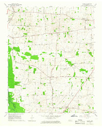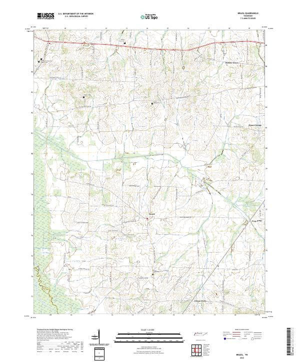
2022 Map of Brazil
USGS Topo · Published 2022About this map
The Middle Fork Forked Deer River defines the southwestern corner of this West Tennessee landscape, where the flatlands of Gibson Co meet the border of Crockett Co. This territory is defined by a dense network of family-named roads and small, localized settlements that have long anchored the agricultural economy. The namesake community of Brazil sits centrally, surrounded by loops and junctions like Marion Dodd Loop and Brazil Elliott Store Rd, illustrating the traditional land divisions and store locations common to the region's rural history.
Find a feature on this map
66 named features on this map. Tap any name to fly to it.
Don’t see what you’re looking for? This feature index may not catch every label — zoom into the map to look around manually.
Map Details
Editions of this 2022 Brazil Map
This is the sole edition of this map. No revisions or reprints were ever made.