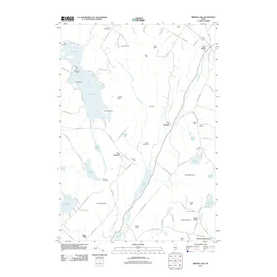
2011 Map of Brewer Lake
USGS Topo · Published 2011About this map
Brewer Lake and the surrounding woodlands and wetlands dominate this 2011 survey, illustrating a landscape defined by its glacial heritage and water management. Several islands, including King Island and Bowden Island, are situated within the lake, while the presence of the Brewer Lake Dam and Thurston Pond Dam indicates a history of regulating local water levels for community or industrial needs. The map is particularly useful for genealogists, as it identifies several family and community burial grounds such as Copeland Hill Cemetery, Parker Cemetery, and Granite Cemetery. Small rural clusters like Fields Pond Settlement and Winkumpaugh Corners are interconnected by a network of local roads such as Lake Shore Rd and Bucksmills Rd, while topographical features like Blood Mountain and Orcutt Mountain rise above the surrounding streams and bogs.
Find a feature on this map
111 named features on this map. Tap any name to fly to it.
Don’t see what you’re looking for? This feature index may not catch every label — zoom into the map to look around manually.
Map Details
Editions of this 2011 Brewer Lake Map
This is the sole edition of this map. No revisions or reprints were ever made.
Other maps of this area

1900 · Orland
USGS Topo · 1:62,500

1900 · Bucksport
USGS Topo · 1:62,500

1902 · Orono
USGS Topo · 1:62,500

1902 · Bucksport
USGS Topo · 1:62,500

1902 · Bangor
USGS Topo · 1:62,500

1942 · Orland
USGS Topo · 1:62,500

1942 · Bangor
USGS Topo · 1:62,500

1942 · Bucksport
USGS Topo · 1:62,500

1944 · Orono
USGS Topo · 1:62,500

1946 · Bangor
USGS Topo · 1:62,500