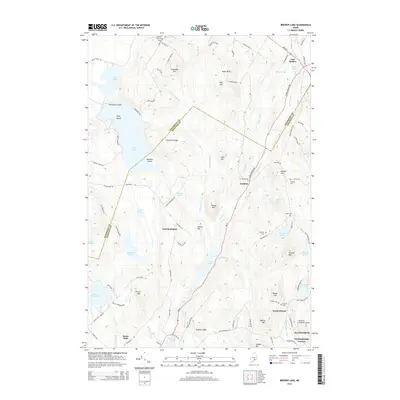
2014 Map of Brewer Lake
USGS Topo · Published 2014About this map
The Penobscot and Hancock county line bisects this landscape, running through a dense network of glacial lakes and granite ridges south of East Holden. The interior is defined by significant water bodies such as Brewer Lake, Long Pond, and Thurston Pond, which are fed by numerous small waterways including Copeland Brook and Moosehorn Stream. Settlement is concentrated at historical junctions like East Bucksport, Dedham, and Winkumpaugh Corners, while many family names are preserved on the terrain, such as Rider Bluff, Orcutt Mtn, and Peaked Mtn. The region's history is further anchored by several small burial grounds, including Copeland Hill Cem and Granite Cem. The road network, including Strickland Ridge Rd and Bald Mountain Rd, traces the elevation changes around Blood Mtn and Cancer Hill, reflecting a layout dictated by the complex local topography.
Find a feature on this map
103 named features on this map. Tap any name to fly to it.
Don’t see what you’re looking for? This feature index may not catch every label — zoom into the map to look around manually.
Map Details
Editions of this 2014 Brewer Lake Map
This is the sole edition of this map. No revisions or reprints were ever made.
Other maps of this area

1900 · Orland
USGS Topo · 1:62,500

1900 · Bucksport
USGS Topo · 1:62,500

1902 · Orono
USGS Topo · 1:62,500

1902 · Bucksport
USGS Topo · 1:62,500

1902 · Bangor
USGS Topo · 1:62,500

1942 · Orland
USGS Topo · 1:62,500

1942 · Bangor
USGS Topo · 1:62,500

1942 · Bucksport
USGS Topo · 1:62,500

1944 · Orono
USGS Topo · 1:62,500

1946 · Bangor
USGS Topo · 1:62,500