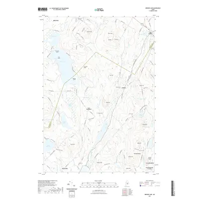
2021 Map of Brewer Lake
USGS Topo · Published 2021About this map
Brewer Lake and the rugged upland terrain surrounding it define this landscape along the Penobscot and Hancock county line. The settlement pattern is characterized by small, established communities such as East Holden, Dedham, and East Bucksport, connected by a network of winding roads like Copeland Hill Rd and Bucksmills Rd. The area's history is preserved in its many small burial grounds, including Hill Rest Cem in the north and Granite Cem near North Orland. A notable modern landmark, the Philbrick Mountain Airport, sits near the southern edge at Winkumpaugh Corners. The terrain is marked by numerous water bodies like Fields Pond and Long Pond, punctuated by high points such as Copeland Hill, Rider Bluff, and Peaked Mtn, which indicate the area's complex glacial topography.
Find a feature on this map
119 named features on this map. Tap any name to fly to it.
Don’t see what you’re looking for? This feature index may not catch every label — zoom into the map to look around manually.
Map Details
Editions of this 2021 Brewer Lake Map
This is the sole edition of this map. No revisions or reprints were ever made.
Other maps of this area

1900 · Orland
USGS Topo · 1:62,500

1900 · Bucksport
USGS Topo · 1:62,500

1902 · Orono
USGS Topo · 1:62,500

1902 · Bucksport
USGS Topo · 1:62,500

1902 · Bangor
USGS Topo · 1:62,500

1942 · Orland
USGS Topo · 1:62,500

1942 · Bangor
USGS Topo · 1:62,500

1942 · Bucksport
USGS Topo · 1:62,500

1944 · Orono
USGS Topo · 1:62,500

1946 · Bangor
USGS Topo · 1:62,500