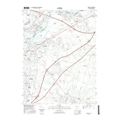
2016 Map of Bristol
USGS Topo · Published 2016About this map
Burlington Island and Money Island anchor this stretch of the Delaware River, where the industrial and transport corridors of Pennsylvania and New Jersey converge. The landscape is defined by its deep historical layering, from the established riverfront settlements of Bristol and Burlington to the suburban expansion visible in Willingboro and Hawthorne Park. Genealogists will find a high concentration of sacred sites, including the Saint Marks Roman Catholic Churchyard and the Rancocas Quaker Burying Ground. Transportation infrastructure is a central theme, with the Delaware River Bridge connecting the two states while Florence Station and the Inductotherm Airport signal modern industrial utility. The presence of Timbuctoo and various family-named ranges like the Keystone Range or Bristol Range along the river highlights the diverse social and maritime history of the area.
Find a feature on this map
80 named features on this map. Tap any name to fly to it.
Don’t see what you’re looking for? This feature index may not catch every label — zoom into the map to look around manually.
Map Details
Editions of this 2016 Bristol Map
This is the sole edition of this map. No revisions or reprints were ever made.
Other maps of this area

1888 · Bordentown
USGS Topo · 1:62,500

1888 · Pemberton
USGS Topo · 1:62,500

1888 · Mount Holly
USGS Topo · 1:62,500

1890 · Burlington
USGS Topo · 1:62,500

1893 · Bordentown
USGS Topo · 1:62,500

1893 · Burlington
USGS Topo · 1:62,500

1894 · Pemberton
USGS Topo · 1:62,500

1894 · Mount Holly
USGS Topo · 1:62,500

1898 · Pemberton
USGS Topo · 1:62,500

1898 · Mount Holly
USGS Topo · 1:62,500
Featured Places
- Falls Township, PA
- Willingboro Township, NJ
- Bordentown Township, NJ
- Florence Township, NJ
- Mount Holly Township, NJ