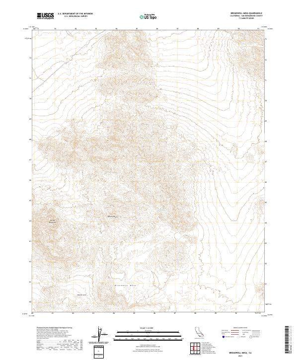
2021 Map of Broadwell Mesa
USGS Topo · Published 2021About this map
Broadwell Mesa dominates this corner of the Mojave Desert, where the high desert terrain of San Bernardino County reveals a landscape shaped by arid processes. This modern topographic survey highlights geological and hydrological features essential to navigating this remote environment, notably the presence of Hulen Spring and the Natural Arch located south of the mesa. The northern reaches of the Bristol Mountains extend into the western portion of the quadrangle, illustrating the complex vertical relief that defines the region. The map provides a clear look at the public land survey system divisions across several townships, including t10n r8e and t9n r9e, which is particularly useful for those tracing specific land parcels or exploring the high-relief transitions of the California desert interior.
Find a feature on this map
11 named features on this map. Tap any name to fly to it.
Don’t see what you’re looking for? This feature index may not catch every label — zoom into the map to look around manually.
Map Details
Editions of this 2021 Broadwell Mesa Map
This is the sole edition of this map. No revisions or reprints were ever made.
Other maps of this area

1910 · Ivanpah
USGS Topo · 1:250,000

1912 · Ivanpah
USGS Topo · 1:250,000

1933 · Avawatz Mountains
USGS Topo · 1:250,000

1942 · Ivanpah
USGS Topo · 1:250,000

1942 · Amboy
USGS Topo · 1:250,000

1943 · Amboy
USGS Topo · 1:250,000

1947 · Trona
USGS Topo · 1:250,000

1947 · Kingman
USGS Topo · 1:250,000

1948 · Kingman
USGS Topo · 1:250,000

1948 · Trona
USGS Topo · 1:250,000