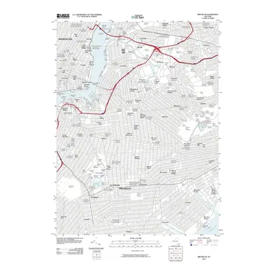
2010 Map of Brooklyn
USGS Topo · Published 2010About this map
Manhattan and Brooklyn meet across the East River in this dense urban study, which highlights the intense infrastructure connecting the boroughs. Major transit hubs like Sunnyside Yards and the Pennsylvania Tunnels serve the industrial and residential corridors of Long Island City and Sunnyside. The map reveals a landscape heavily dedicated to memorial space, featuring the sprawling Green-Wood Cemetery, Calvary Cemetery, and the National Cemetery near Cypress Hills.
Find a feature on this map
181 named features on this map. Tap any name to fly to it.
Don’t see what you’re looking for? This feature index may not catch every label — zoom into the map to look around manually.
Map Details
Editions of this 2010 Brooklyn Map
This is the sole edition of this map. No revisions or reprints were ever made.
Other maps of this area

1888 · Paterson
USGS Topo · 1:62,500

1889 · Brooklyn
USGS Topo · 1:62,500

1891 · Brooklyn
USGS Topo · 1:62,500

1891 · Harlem
USGS Topo · 1:62,500

1892 · Paterson
USGS Topo · 1:62,500

1897 · Harlem
USGS Topo · 1:62,500

1897 · Brooklyn
USGS Topo · 1:62,500

1898 · Harlem
USGS Topo · 1:62,500

1898 · Staten Island
USGS Topo · 1:62,500

1898 · Brooklyn
USGS Topo · 1:62,500