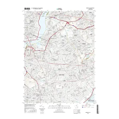
2016 Map of Brooklyn
USGS Topo · Published 2016About this map
The East River and Intracoastal Waterway separate the dense urban fabric of Manhattan from the industrial and residential neighborhoods of Brooklyn and Queens in this detailed 2016 survey. This landscape is defined by its diverse religious and educational institutions, featuring a high concentration of rabbinical colleges such as the United Talmudical Seminary and Mesivta Tifereth Jerusalem of America. Landmark infrastructure, including the Pulaski Bascule Bridge over Newton Creek and the Pennsylvania Tunnels, illustrates the complex transportation network tying the boroughs together.
Find a feature on this map
136 named features on this map. Tap any name to fly to it.
Don’t see what you’re looking for? This feature index may not catch every label — zoom into the map to look around manually.
Map Details
Editions of this 2016 Brooklyn Map
This is the sole edition of this map. No revisions or reprints were ever made.
Other maps of this area

1888 · Paterson
USGS Topo · 1:62,500

1889 · Brooklyn
USGS Topo · 1:62,500

1891 · Brooklyn
USGS Topo · 1:62,500

1891 · Harlem
USGS Topo · 1:62,500

1892 · Paterson
USGS Topo · 1:62,500

1897 · Harlem
USGS Topo · 1:62,500

1897 · Brooklyn
USGS Topo · 1:62,500

1898 · Harlem
USGS Topo · 1:62,500

1898 · Staten Island
USGS Topo · 1:62,500

1898 · Brooklyn
USGS Topo · 1:62,500