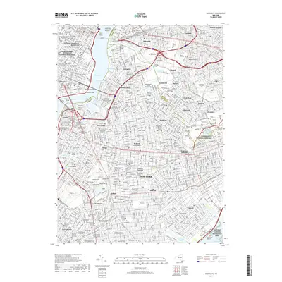
2019 Map of Brooklyn
USGS Topo · Published 2019About this map
Cypress Hills National Cemetery and the sprawling Green-Wood Cem anchor this modern landscape of the five boroughs, where the dense urban grid of Brooklyn and Queens meets the industrial edges of the East River. This survey captures the massive concentration of final resting places along the Queens and Kings County line, including New Calvary Cem and Mount Zion Cem. The map detail traces the evolution of transportation and civic life, from the historic Williamsburg Bridge and Manhattan Bridge to modern landmarks like the Greenwich Village Stonewall National Monument. Educational and religious institutions are particularly dense here, ranging from Baruch College to the Talmudical Seminary Bobov, illustrating the enduring cultural and academic heritage of neighborhoods like Williamsburg, Bedford-Stuyvesant, and Park Slope.
Find a feature on this map
140 named features on this map. Tap any name to fly to it.
Don’t see what you’re looking for? This feature index may not catch every label — zoom into the map to look around manually.
Map Details
Editions of this 2019 Brooklyn Map
This is the sole edition of this map. No revisions or reprints were ever made.
Other maps of this area

1888 · Paterson
USGS Topo · 1:62,500

1889 · Brooklyn
USGS Topo · 1:62,500

1891 · Brooklyn
USGS Topo · 1:62,500

1891 · Harlem
USGS Topo · 1:62,500

1892 · Paterson
USGS Topo · 1:62,500

1897 · Harlem
USGS Topo · 1:62,500

1897 · Brooklyn
USGS Topo · 1:62,500

1898 · Harlem
USGS Topo · 1:62,500

1898 · Staten Island
USGS Topo · 1:62,500

1898 · Brooklyn
USGS Topo · 1:62,500