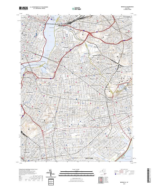
2023 Map of Brooklyn
USGS Topo · Published 2023About this map
The dense urban grid of Brooklyn and its surrounding boroughs is defined here by its historic neighborhoods and a remarkably high concentration of religious and memorial grounds. This modern survey illustrates the enduring layouts of Williamsburg, Bushwick, and Bedford-Stuyvesant, alongside the institutional corridors of Long Island City. The geography is anchored by the East River, with the Brooklyn Brg and Williamsburg Brg providing the vital links to Manhattan.
Find a feature on this map
126 named features on this map. Tap any name to fly to it.
Don’t see what you’re looking for? This feature index may not catch every label — zoom into the map to look around manually.
Map Details
Editions of this 2023 Brooklyn Map
This is the sole edition of this map. No revisions or reprints were ever made.
Other maps of this area

1888 · Paterson
USGS Topo · 1:62,500

1889 · Brooklyn
USGS Topo · 1:62,500

1891 · Brooklyn
USGS Topo · 1:62,500

1891 · Harlem
USGS Topo · 1:62,500

1892 · Paterson
USGS Topo · 1:62,500

1897 · Harlem
USGS Topo · 1:62,500

1897 · Brooklyn
USGS Topo · 1:62,500

1898 · Harlem
USGS Topo · 1:62,500

1898 · Staten Island
USGS Topo · 1:62,500

1898 · Brooklyn
USGS Topo · 1:62,500