2022 Map of Bryson City
USGS Topo · Published 2022About this map
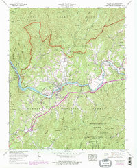
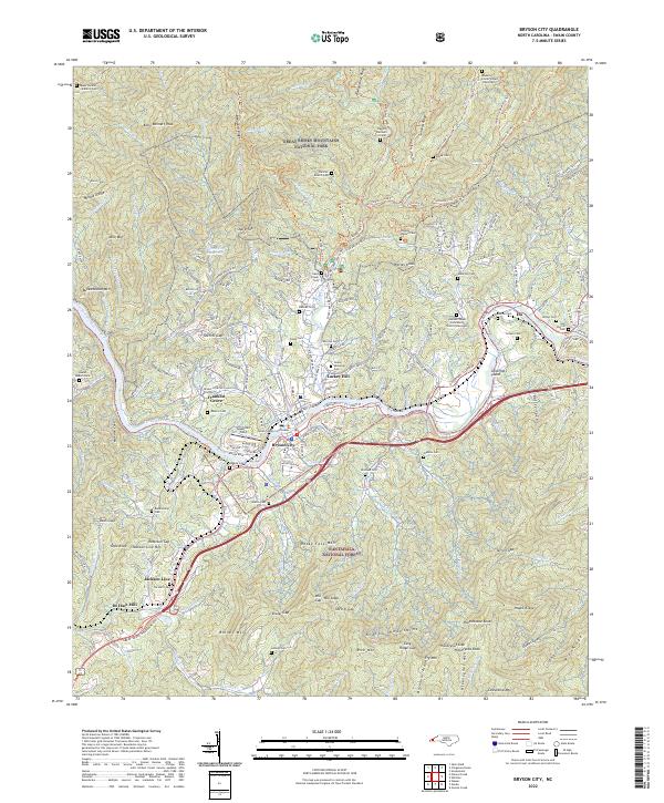
Bryson City serves as the gateway to high-elevation peaks and deep river valleys where the Great Smoky Mountains National Park meets the Nantahala National Forest. The Tuckasegee River winds through the heart of the settlement, paralleled by the tracks of the Great Smoky Mountains Railroad. This area is characterized by dense family genealogy preserved in numerous cemeteries including Swain Memorial Cem and Galbraith Cem, alongside civic anchors like the Swain County Courthouse. To the west, the landscape rises sharply toward Kelly Bennett Peak and Noland Divide, while the valley floor features unique landmarks like Governors Island and the Sossamon Field airstrip. The industrial heritage of the region is grounded by features such as De Hart Mill, located near the southern bend of the river where it reaches the settlement of Jackson Line.
Find a feature on this map
177 named features on this map. Tap any name to fly to it.
Don’t see what you’re looking for? This feature index may not catch every label — zoom into the map to look around manually.
Map Details
Editions of this 2022 Bryson City Map
This is the sole edition of this map. No revisions or reprints were ever made.
Historical Maps of Franklin Grove Through Time
3 maps found