2022 Map of Buchanan
USGS Topo · Published 2022About this map
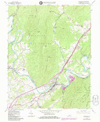
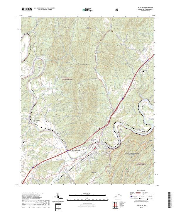
The James River snakes through the heart of this Botetourt County landscape, defining the character of Buchanan and the surrounding valley. The topography is dominated by the massive presence of Purgatory Mtn and the Jefferson National Forest, where the river carves a dramatic path through The Gorge. Local settlement patterns are tied closely to the water and the gaps in the ridges, with Springwood and Dillon marking established points of transit. The map reveals a high density of family and community history markers, including Fairview Cem and Mays Cem tucked near the ridges of Mays Mtn and Back Creek Mtn. The orientation of roads like Narrow Passage Rd and River Rd follows the natural contours of the river's Horseshoe Bend, illustrating how the waterway has dictated the movement and development of this Appalachian corridor for generations.
Find a feature on this map
95 named features on this map. Tap any name to fly to it.
Don’t see what you’re looking for? This feature index may not catch every label — zoom into the map to look around manually.
Map Details
Editions of this 2022 Buchanan Map
This is the sole edition of this map. No revisions or reprints were ever made.