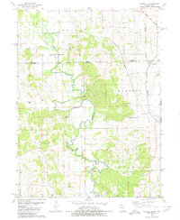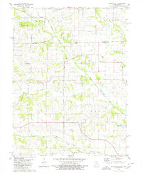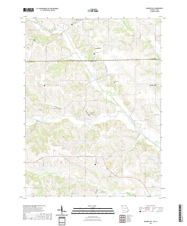
2021 Map of Bunker Hill
USGS Topo · Published 2021About this map
Savannah and Bunker Hill anchor this rural landscape along the Iowa-Missouri border, where the headwaters of the Fabius River system create a complex network of drainage basins. The area is defined by its numerous family and community burial grounds, including the New Zion Cem, Bridwell Cem, and Gardner Cem, which offer significant value for genealogical research in Schuyler County. The terrain is marked by the presence of Punkin Hill and the winding paths of the N Fabius River and S Fork N Fabius River. Land use in this part of Missouri is characterized by agricultural operations like the Newcomb Hereford Ranch Airport and water management features such as Downing Reservoir and Lancaster City Lake near the southern boundary.
Find a feature on this map
65 named features on this map. Tap any name to fly to it.
Don’t see what you’re looking for? This feature index may not catch every label — zoom into the map to look around manually.
Map Details
Editions of this 2021 Bunker Hill Map
This is the sole edition of this map. No revisions or reprints were ever made.
Historical Maps of Iowa Through Time
8 maps found