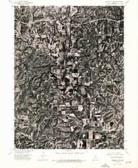
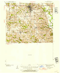
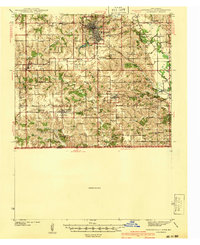
1974 Map of Queen City NW
USGS Topo · Published 1976About this map
Worthington and Livonia anchor this mid-1970s orthophotoquad, which provides a photographic record of the Missouri landscape just north of Queen City. Unlike traditional topographic maps, this aerial perspective captures the exact configuration of farmsteads and timbered ridges along the meandering path of the Chariton River. The river corridor dominates the central portion of the sheet, winding through a patchwork of agricultural fields and narrow wooded breaks. The small settlements of Livonia to the north and Worthington near the southern boundary show their simple layout against the rural backdrop, offering researchers a clear view of local land use and property improvements at the time of the 1974 flight.
Find a feature on this map
3 named features on this map. Tap any name to fly to it.
Don’t see what you’re looking for? This feature index may not catch every label — zoom into the map to look around manually.
Map Details
Editions of this 1974 Queen City NW Map
This is the sole edition of this map. No revisions or reprints were ever made.
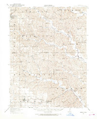
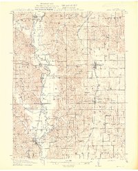
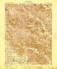
Other maps of this area

1911 · Queen City
USGS Topo · 1:62,500
1912 · Green City
USGS Topo · 1:62,500
1913 · Queen City
USGS Topo · 1:62,500
1914 · Green City
USGS Topo · 1:62,500
1939 · Centerville
USGS Topo · 1:62,500
1941 · Centerville
USGS Topo · 1:62,500

1954 · Centerville
USGS Topo · 1:250,000

1957 · Centerville
USGS Topo · 1:250,000

1958 · Centerville
USGS Topo · 1:250,000
1974 · Green City NE
USGS Topo · 1:24,000