Loading...
Loading map...2022 Map of Burbank
USGS Topo · Published 2022About this map
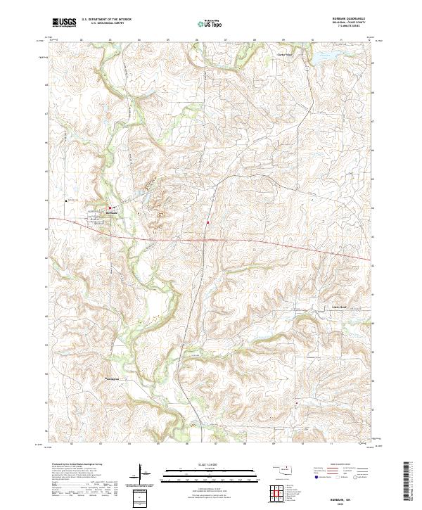
Burbank sits at the heart of this Osage County landscape, where the street grid of McCarkle Ave and Carter Ave meets the rural road network. The map reveals a pattern of scattered settlements including Carter Nine, Little Chief, and Remington, often linked by roads with distinctive local names such as Whizbang Denoya Rd and Whiz Bank Rd. These labels reflect the area's history of petroleum development, where oil leases and company towns once peppered the prairie.
Find a feature on this map
41 named features on this map. Tap any name to fly to it.
Don’t see what you’re looking for? This feature index may not catch every label — zoom into the map to look around manually.
Map Details
Date Portrayed2022
Date Published2022
PublisherU.S. Geological Survey
Map TypeTopographic
Scale1:24000
Physical Dimensions24 x 29 inches
Editions of this 2022 Burbank Map
This is the sole edition of this map. No revisions or reprints were ever made.
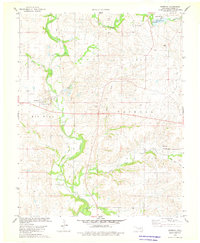
Historical Maps of Osage County Through Time
Featured Locations
Source Details
SourceU.S. Geological Survey
CopyrightPublic Domain