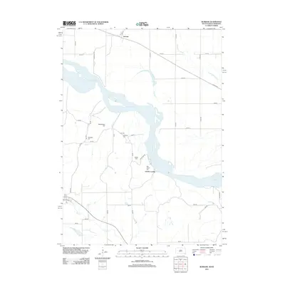
2012 Map of Burbank
USGS Topo · Published 2012About this map
The Missouri River carves a wide path through this borderland, where the terrain rises from the river valley into a series of distinctive named elevations. To the west, the landscape is defined by Rattlesnake Hill, Pumpkin Hill, and Volcano Hill, while Boy Scout Hill and Indian Hill overlook the river's eastern banks. This area, surveyed in 2012, showcases a mix of agricultural grid roads and natural drainage systems like Gibbs Cr and Aowa Cr. Local history is anchored by the Ionia Cem near Volcano Hill, providing a point of reference for genealogists. The map also records small settlement points and river-related features such as Burbank, Lembke Landing, and the backwaters of Burbank Lake. The drainage patterns of Government Slough reveal the complex hydrology of the floodplain at the time of this survey.
Find a feature on this map
42 named features on this map. Tap any name to fly to it.
Don’t see what you’re looking for? This feature index may not catch every label — zoom into the map to look around manually.
Map Details
Editions of this 2012 Burbank Map
This is the sole edition of this map. No revisions or reprints were ever made.
Other maps of this area

1898 · Elk Point
USGS Topo · 1:125,000

1901 · Elk Point
USGS Topo · 1:125,000

1907 · Elk Point
USGS Topo · 1:125,000

1955 · Sioux City
USGS Topo · 1:250,000

1958 · Sioux City
USGS Topo · 1:250,000

1959 · Sioux City
USGS Topo · 1:250,000

1963 · Elk Point
USGS Topo · 1:24,000

1964 · Martinsburg SW
USGS Topo · 1:24,000

1964 · Burbank
USGS Topo · 1:24,000

1964 · Maskell
USGS Topo · 1:24,000