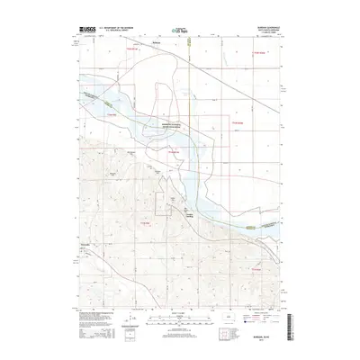
2015 Map of Burbank
USGS Topo · Published 2015About this map
The Missouri National Recreation River carves a significant path through this 2015 study, defining the border between South Dakota and Nebraska. This riparian corridor is marked by shifting sandbars and backwaters like Burbank Lake and Government Slough, showing the river's dynamic nature in Clay and Dixon counties. On the Nebraska side, the landscape transitions from the river bottom to a series of distinct topographic features, including Indian Hill, Volcano Hill, and Rattlesnake Hill.
Find a feature on this map
51 named features on this map. Tap any name to fly to it.
Don’t see what you’re looking for? This feature index may not catch every label — zoom into the map to look around manually.
Map Details
Editions of this 2015 Burbank Map
This is the sole edition of this map. No revisions or reprints were ever made.
Other maps of this area

1898 · Elk Point
USGS Topo · 1:125,000

1901 · Elk Point
USGS Topo · 1:125,000

1907 · Elk Point
USGS Topo · 1:125,000

1955 · Sioux City
USGS Topo · 1:250,000

1958 · Sioux City
USGS Topo · 1:250,000

1959 · Sioux City
USGS Topo · 1:250,000

1963 · Elk Point
USGS Topo · 1:24,000

1964 · Martinsburg SW
USGS Topo · 1:24,000

1964 · Burbank
USGS Topo · 1:24,000

1964 · Maskell
USGS Topo · 1:24,000