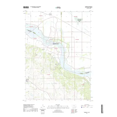
2017 Map of Burbank
USGS Topo · Published 2017About this map
The Missouri River forms the central spine of this landscape, marking the winding border between South Dakota and Nebraska. This stretch is protected as the Missouri National Recreation River, where the water transitions from the wide wetlands of the Union County Waterfowl Production Area to a more constrained channel flanked by several named summits. To the west, the terrain rises significantly into a series of locally prominent landmarks including Rattlesnake Hill, Pumpkin Hill, Volcano Hill, and Indian Hill.
Find a feature on this map
56 named features on this map. Tap any name to fly to it.
Don’t see what you’re looking for? This feature index may not catch every label — zoom into the map to look around manually.
Map Details
Editions of this 2017 Burbank Map
This is the sole edition of this map. No revisions or reprints were ever made.
Other maps of this area

1898 · Elk Point
USGS Topo · 1:125,000

1901 · Elk Point
USGS Topo · 1:125,000

1907 · Elk Point
USGS Topo · 1:125,000

1955 · Sioux City
USGS Topo · 1:250,000

1958 · Sioux City
USGS Topo · 1:250,000

1959 · Sioux City
USGS Topo · 1:250,000

1963 · Elk Point
USGS Topo · 1:24,000

1964 · Martinsburg SW
USGS Topo · 1:24,000

1964 · Burbank
USGS Topo · 1:24,000

1964 · Maskell
USGS Topo · 1:24,000