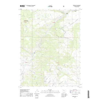
2019 Map of Burns South
USGS Topo · Published 2019About this map
The Colorado River carves a deep path through the heart of this Eagle County landscape, dictating the settlement and transportation patterns of the region. Near the river's northern bend, the community of Burns and the nearby Derby Junction serve as focal points for local commerce and connectivity along the Colorado River Rd. The map illustrates a complex network of Bureau of Land Management routes, such as BLM Route 8560, which provide access to the higher elevations of Derby Mesa and the expansive White River National Forest.
Find a feature on this map
61 named features on this map. Tap any name to fly to it.
Don’t see what you’re looking for? This feature index may not catch every label — zoom into the map to look around manually.
Map Details
Editions of this 2019 Burns South Map
This is the sole edition of this map. No revisions or reprints were ever made.
Other maps of this area

1927 · Glenwood Springs
USGS Topo · 1:125,000

1930 · Glenwood Springs
USGS Topo · 1:125,000

1957 · Leadville
USGS Topo · 1:250,000

1959 · Leadville
USGS Topo · 1:250,000

1960 · Leadville
USGS Topo · 1:250,000

1962 · Leadville
USGS Topo · 1:250,000

1962 · Gypsum
USGS Topo · 1:24,000

1962 · Eagle
USGS Topo · 1:24,000

1964 · Leadville
USGS Topo · 1:250,000

1972 · Blue Hill
USGS Topo · 1:24,000