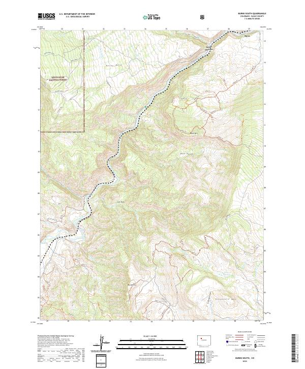
2022 Map of Burns South
USGS Topo · Published 2022About this map
Colorado River drainage patterns define the central landscape of this Colorado survey, where the river winds through steep topography between Derby Mesa and the expansive White River National Forest. The small community of Burns sits at the northeastern corner, serving as a primary point of reference in a region dominated by high-elevation landforms like Greenhorn Mtn and Black Mtn.
Find a feature on this map
64 named features on this map. Tap any name to fly to it.
Don’t see what you’re looking for? This feature index may not catch every label — zoom into the map to look around manually.
Map Details
Editions of this 2022 Burns South Map
This is the sole edition of this map. No revisions or reprints were ever made.
Other maps of this area

1927 · Glenwood Springs
USGS Topo · 1:125,000

1930 · Glenwood Springs
USGS Topo · 1:125,000

1957 · Leadville
USGS Topo · 1:250,000

1959 · Leadville
USGS Topo · 1:250,000

1960 · Leadville
USGS Topo · 1:250,000

1962 · Leadville
USGS Topo · 1:250,000

1962 · Gypsum
USGS Topo · 1:24,000

1962 · Eagle
USGS Topo · 1:24,000

1964 · Leadville
USGS Topo · 1:250,000

1972 · Blue Hill
USGS Topo · 1:24,000