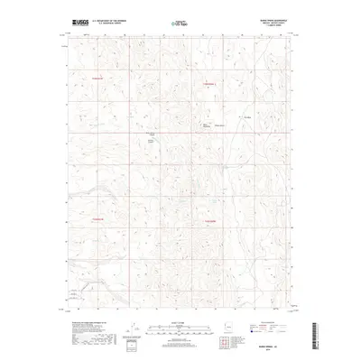
2018 Map of Burns Spring
USGS Topo · Published 2018About this map
Twin Mills stands as a focal point of industrial activity within the arid expanse of the Mojave Desert in this high-desert region of Arizona. The landscape is defined by the complex topography of the Black Mountains, where numerous drainage systems such as Granite Wash and Tyro Wash carve through the terrain. A critical network of water sources is mapped throughout the canyons, including Burns Spring, Chalk Spring, and Rhyolite Spring, which historically supported movement and habitation in this environment.
Find a feature on this map
21 named features on this map. Tap any name to fly to it.
Don’t see what you’re looking for? This feature index may not catch every label — zoom into the map to look around manually.
Map Details
Editions of this 2018 Burns Spring Map
This is the sole edition of this map. No revisions or reprints were ever made.
Other maps of this area

1886 · Camp Mohave
USGS Topo · 1:250,000

1892 · Camp Mohave
USGS Topo · 1:250,000

1926 · Mohave City
USGS Topo · 1:96,000

1942 · Camp Mohave
USGS Topo · 1:250,000

1947 · Kingman
USGS Topo · 1:250,000

1948 · Kingman
USGS Topo · 1:250,000

1950 · Davis Dam
USGS Topo · 1:62,500

1952 · Davis Dam
USGS Topo · 1:62,500

1954 · Kingman
USGS Topo · 1:250,000

1955 · Kingman
USGS Topo · 1:250,000